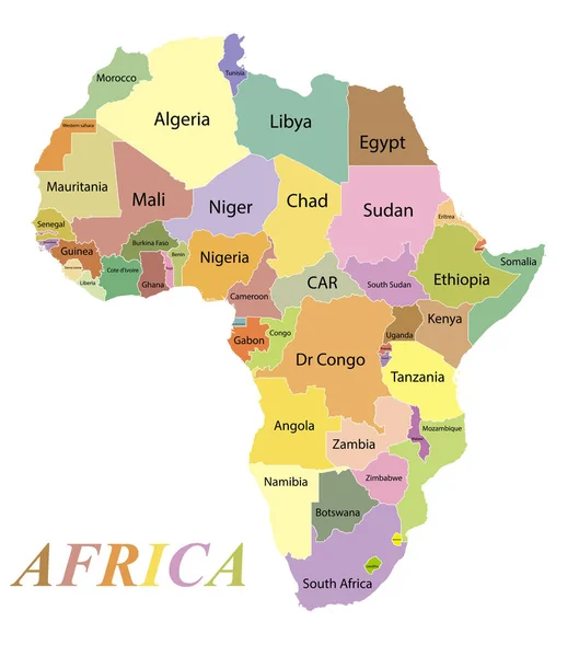
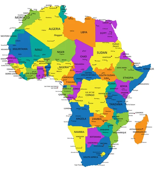
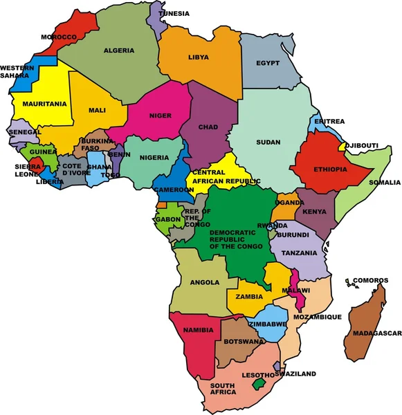
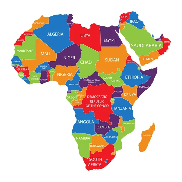
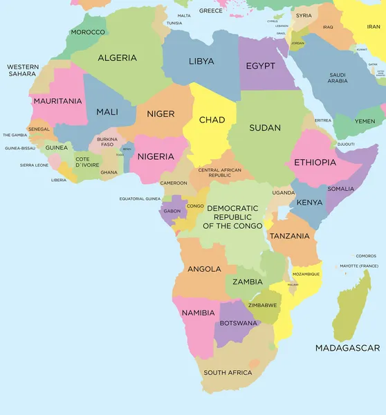
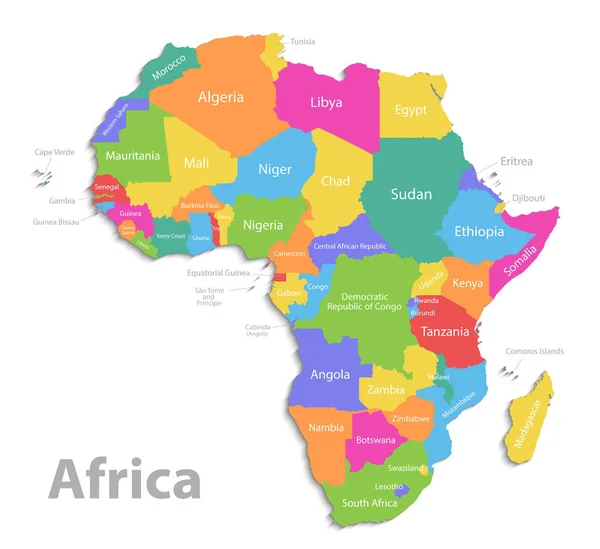
Stock vector Africa map, new political detailed map, separate individual states, with state names, isolated on white background 3D vector
Published: Feb.22, 2019 08:41:12
Author: Mondi.h
Views: 472
Downloads: 0
File type: vector / eps
File size: 8.13 MB
Orginal size: 4370 x 4000 px
Available sizes:
Level: bronze