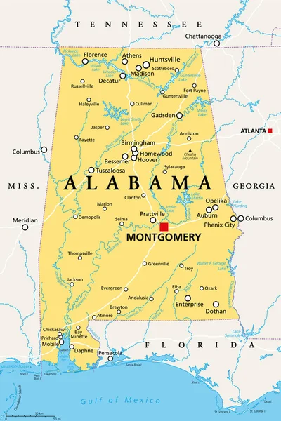
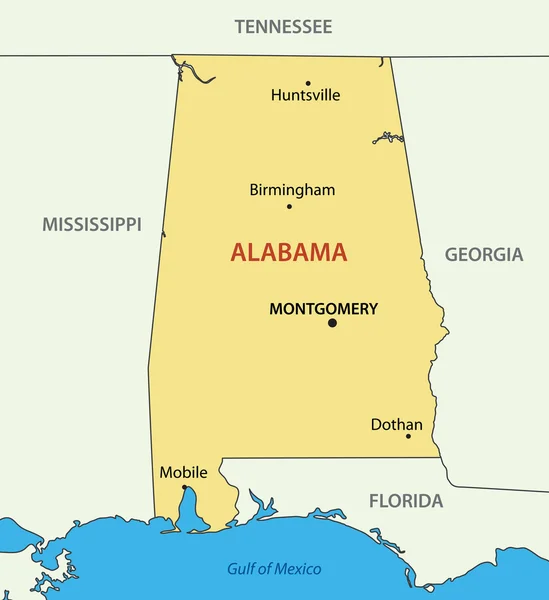
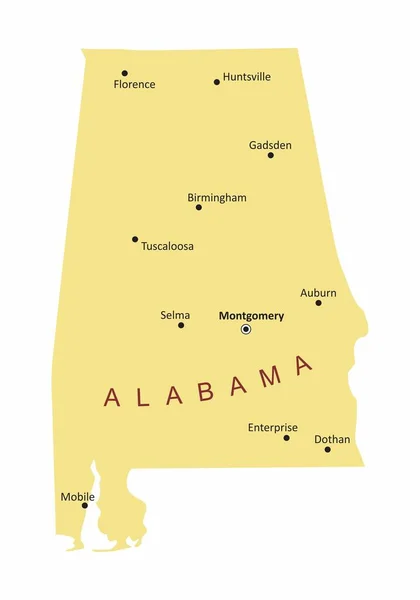
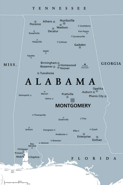
Stock vector Alabama, AL, gray political map, with capital Montgomery, large and important cities. State in the Southeastern region of United States, nicknamed Yellowhammer State, Heart of Dixie, and Cotton State.
Published: Jun.01, 2022 11:07:34
Author: Furian
Views: 2
Downloads: 0
File type: vector / eps
File size: 2.13 MB
Orginal size: 6000 x 9000 px
Available sizes:
Level: silver