photo free
Home Images Vectors Videos

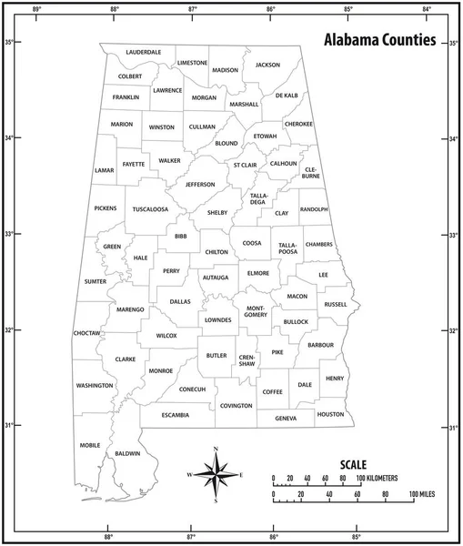
Stock vector Alabama state outline administrative and political vector map in color
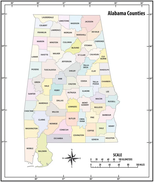
Stock vector Alabama state outline administrative and political vector map in color
Published: Oct.22, 2020 06:52:28
Author: Lesniewski
Views: 2
Downloads: 0
File type: vector / eps
File size: 1.15 MB
Orginal size: 3100 x 3651 px
Available sizes:
S
(425 x 500)
M
(849 x 1000)
L
(1698 x 2000)
XL
(3100 x 3651)
VECT
(3100 x 3651)
EL0
(3100 x 3651)
Level: bronze
Download Vector
Vector topics:

Similar stock vectors

stock vector Alabama state outline administrative and political vector map in black and white

Alabama State Outline Administrative And Political Vector Map In Black And White

3100 × 3651
stock vector Alabama state outline administrative and political vector map in color and white

Alabama State Outline Administrative And Political Vector Map In Color And White

3917 × 4000
stock vector Alabama State Map

Alabama State Map

5490 × 8192
stock vector Vector perspective geographical map of Alabama with larger cities

Vector Perspective Geographical Map Of Alabama With Larger Cities

5818 × 6795
stock vector USA State counties emblem map

USA State Counties Emblem Map

5144 × 5152
stock vector road map of the US American State of Alabama

Road Map Of The US American State Of Alabama

3100 × 3768
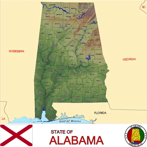
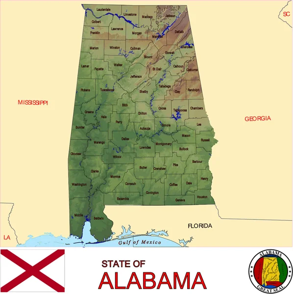
stock vector Alabama counties emblem map

Alabama Counties Emblem Map

4019 × 4025
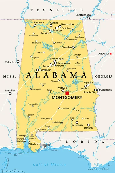
stock vector Alabama, AL, political map with the capital Montgomery, cities, rivers and lakes. State in the Southeastern region of the United States, nicknamed Yellowhammer State, Heart of Dixie, and Cotton State.

Alabama, AL, Political Map With The Capital Montgomery, Cities, Rivers And Lakes. State In The Southeastern Region Of The United States, Nicknamed Yellowhammer State, Heart Of Dixie, And Cotton State.

6000 × 9000