Home
Images
Vectors
Videos
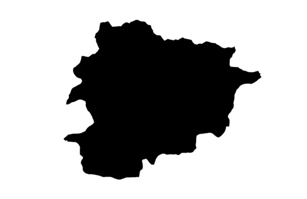
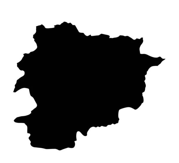
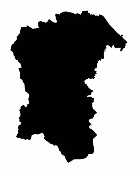
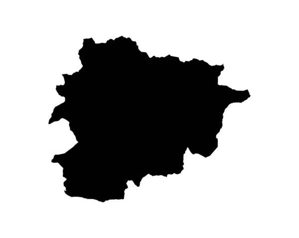
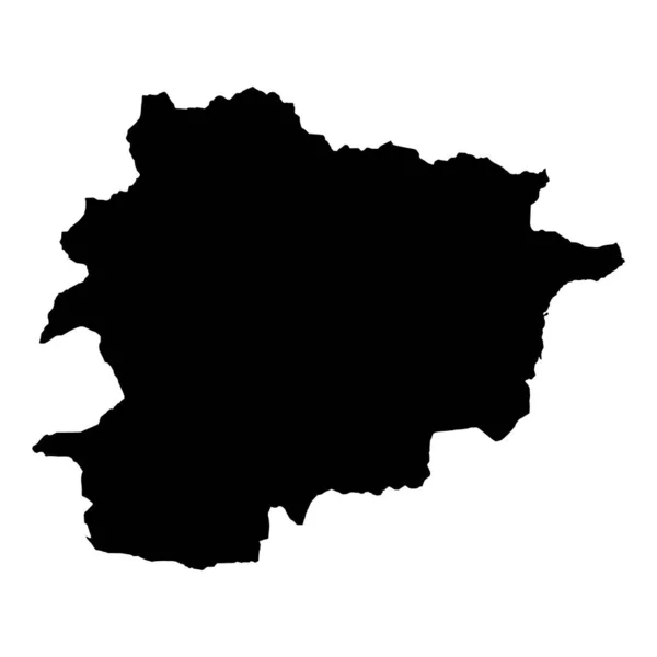
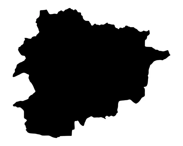
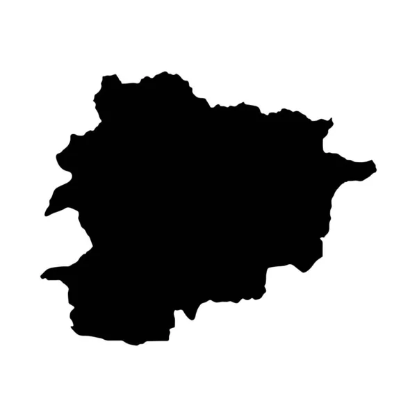
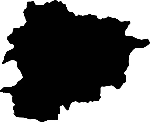
Stock vector Andorra Map. Andorran Country Map. Black and White National Outline Boundary Border Shape Geography Territory EPS Vector Illustration Clipart
Published:
Aug.03, 2022 11:16:50
Author:
xileodesigns
Views:
1
Downloads:
0
File type:
vector
/
eps
File size:
5.73 MB
Orginal size:
5000
x
4000
px
Available sizes:
S
(500 x 400)
M
(1000 x 800)
L
(2000 x 1600)
XL
(5000 x 4000)
VECT
(5000 x 4000)
EL0
(5000 x 4000)
Level:
beginner
Download Vector
Vector topics:
Image
White
Vector
Background
Graphic
Illustration
Design
Isolated
Shape
Sign
Art
Detail
Abstract
Cutout
European
Black
Cut
Silhouette
Border
Icon
Clip
World
Out
Artwork
Detailed
Europe
Clipart
Outline
Country
Map
Cartography
Geography
Area
National
Location
Boundary
Laser
Region
And
Atlas
Engraving
Decal
Nation
Eps
Principality
Andorra
Ai
Andorran
Locale
Similar stock vectors
High Detailed Vector Map. Andorra. New Map 2023
10000 × 10000
Accurate Map Of Andorra
5000 × 4000
Vector Illustration Of Black Silhouette Andorra. Vector Map..
4500 × 4500
BLACK CMYK Color Detailed Flat Stencil Map Of The European Country Of ANDORRA On Transparent Background
5500 × 4492
Principality Of Andorra
4300 × 2800
Andora Highly Detailed Country Silhouette With - Andorra Vector Map Silhouette Illustration..
5500 × 5000
The Pescara Province Dark Silhouette Map Isolated On White Background, Italy
3978 × 5000
Andorra Island Map Silhouette Region, Territory, Black Shape Style Illustration. Good Use For Sign, Symbol, Icon, Logo, Mascot, Or Any Design You Want.
4542 × 4542