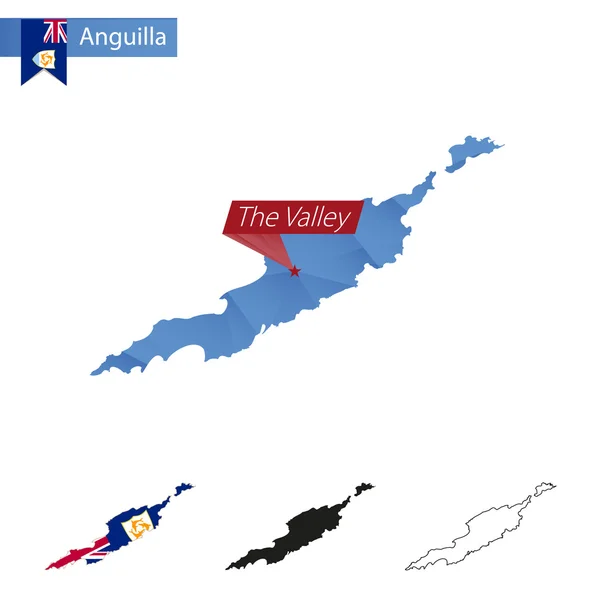
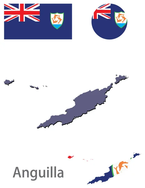
Stock vector Anguilla Country Map Flag Vector Illustration Hand Drawn Cartoon Art

Published: Jun.18, 2019 05:30:34
Author: lechieng.k.gmail.com
Views: 0
Downloads: 0
File type: vector / eps
File size: 0.89 MB
Orginal size: 8000 x 6000 px
Available sizes:
Level: beginner