Home
Images
Vectors
Videos
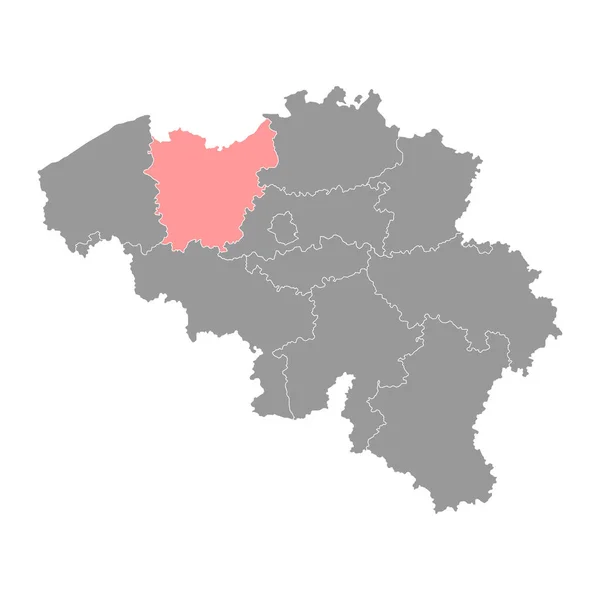
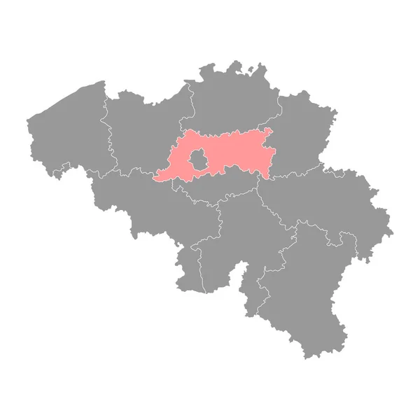
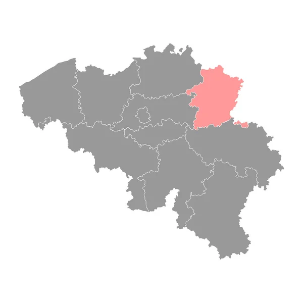
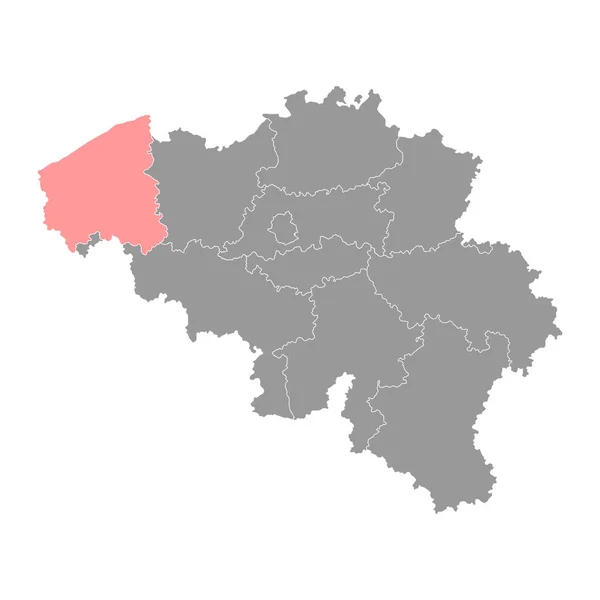
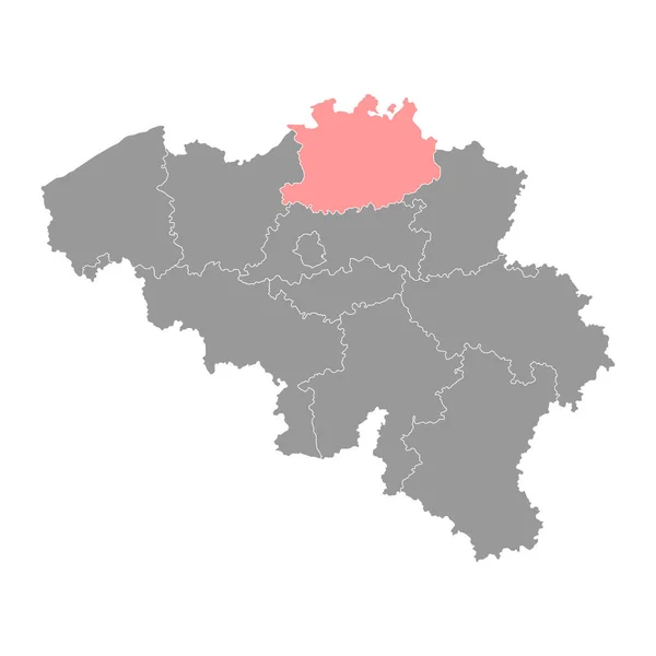
Stock vector Antwerp Province map, Provinces of Belgium. Vector illustration.
Published:
Mar.19, 2023 11:09:05
Author:
majborodinruslan1990.icloud.com
Views:
5
Downloads:
1
File type:
vector
/
eps
File size:
5.64 MB
Orginal size:
4000
x
4000
px
Available sizes:
S
(500 x 500)
M
(1000 x 1000)
L
(2000 x 2000)
XL
(4000 x 4000)
VECT
(4000 x 4000)
EL0
(4000 x 4000)
Level:
beginner
Download Vector
Vector topics:
Vector
Graphic
Illustration
Design
Isolated
Shape
Sign
Texture
Line
Silhouette
Border
Flag
Symbol
Icon
Flat
Contour
World
Tourism
Detailed
Europe
Outline
Country
District
Map
Cartography
Geography
Area
National
Continent
State
Chart
Topography
Location
Government
Administrative
Kingdom
Region
Territory
Belgium
Belgian
Patriotic
Province
County
Mapping
Autonomy
Antwerp
Benelux
European Union
Similar stock vectors
East Flanders Province Map, Provinces Of Belgium. Vector Illustration.
4000 × 4000
Flemish Brabant Province Map, Provinces Of Belgium. Vector Illustration.
4000 × 4000
Brussels Province Map, Provinces Of Belgium. Vector Illustration.
4000 × 4000
Limburg Province Map, Provinces Of Belgium. Vector Illustration.
4000 × 4000
West Flanders Province Map, Provinces Of Belgium. Vector Illustration.
4000 × 4000
Walloon Brabant Province Map, Provinces Of Belgium. Vector Illustration.
4000 × 4000
Liege Province Map, Provinces Of Belgium. Vector Illustration.
4000 × 4000
Namur Province Map, Provinces Of Belgium. Vector Illustration.
4000 × 4000