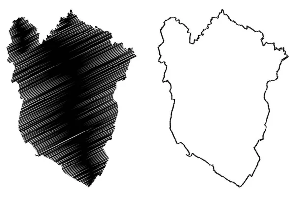
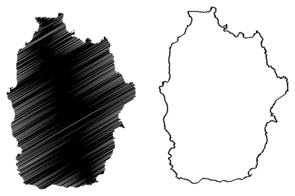
Stock vector Atlantico Department (Colombia, Republic of Colombia, Departments of Colombia) map vector illustration, scribble sketch Department of Atlantic map
Published: Feb.22, 2019 08:33:07
Author: Danler
Views: 20
Downloads: 0
File type: vector / eps
File size: 0.57 MB
Orginal size: 7087 x 4726 px
Available sizes:
Level: bronze