photo free
Home Images Vectors Videos

Stock vector Austria - blue map with neighboring countries and names. Vector illustration
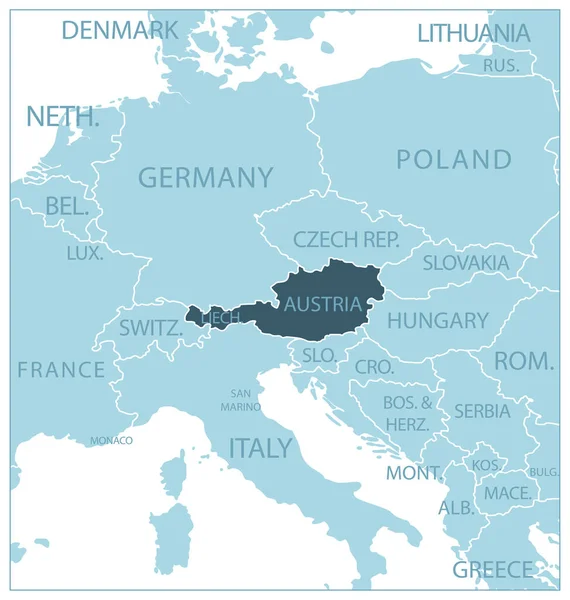
Stock vector Austria - blue map with neighboring countries and names. Vector illustration
Published: Jun.30, 2023 17:11:42
Author: gt29
Views: 5
Downloads: 0
File type: vector / eps
File size: 0.75 MB
Orginal size: 5484 x 5770 px
Available sizes:
S
(475 x 500)
M
(950 x 1000)
L
(1901 x 2000)
XL
(5484 x 5770)
VECT
(5484 x 5770)
EL0
(5484 x 5770)
Level: bronze
Download Vector
Vector topics:

Similar stock vectors

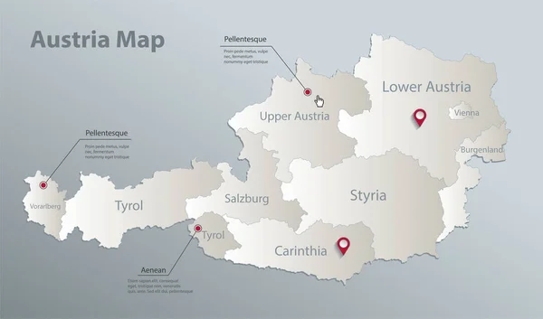
stock vector Austria map, administrative division with names, blue white card paper 3D vector

Austria Map, Administrative Division With Names, Blue White Card Paper 3D Vector

5778 × 3400
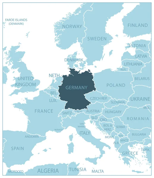
stock vector Germany - blue map with neighboring countries and names. Vector illustration

Germany - Blue Map With Neighboring Countries And Names. Vector Illustration

5261 × 6090
stock vector Isolated austria map design

Isolated Austria Map Design

5315 × 5315
stock vector Austria country detailed editable map

Austria Country Detailed Editable Map

7500 × 4087
stock image Central Europe

Central Europe

8946 × 7471
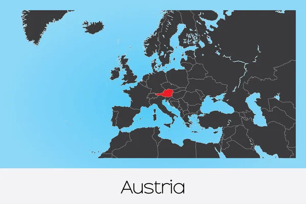
stock vector Illustrated Country Shape of Austria

Illustrated Country Shape Of Austria

4167 × 2778
stock vector Blue-gray detailed map of Czech Republic administrative divisions and location on the globe.

Blue-gray Detailed Map Of Czech Republic Administrative Divisions And Location On The Globe.

5200 × 5451
stock image 3D rendered map of COVID-19 virus pandemic in Austria, Europe in red and gold colors

3D Rendered Map Of COVID-19 Virus Pandemic In Austria, Europe In Red And Gold Colors

3000 × 2000