photo free
Home Images Vectors Videos

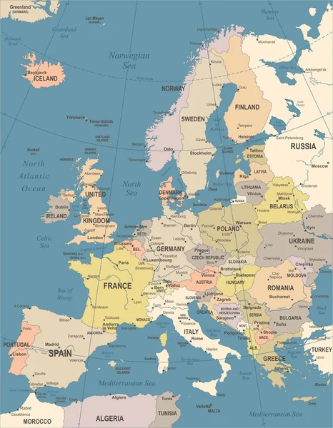
Stock vector Baltic Sea Area Map - Vector Illustration

Stock vector Baltic Sea Area Map - Vector Illustration
Published: Oct.13, 2017 12:11:21
Author: dikobrazik
Views: 256
Downloads: 0
File type: vector / eps
File size: 2.18 MB
Orginal size: 5500 x 6786 px
Available sizes:
S
(405 x 500)
M
(810 x 1000)
L
(1621 x 2000)
XL
(5500 x 6786)
VECT
(5500 x 6786)
EL0
(5500 x 6786)
Level: silver
Download Vector
Vector topics:

Similar stock vectors

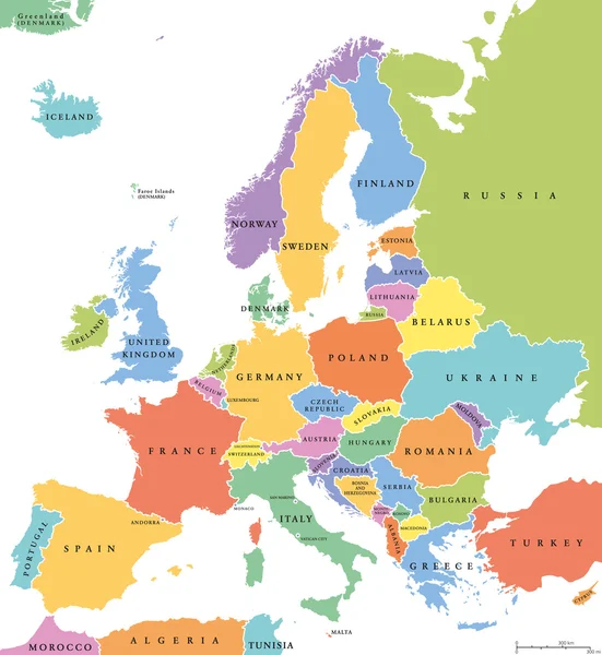
stock vector Europe single states political map

Europe Single States Political Map

7816 × 8500
stock vector Baltic Sea Area Map - Vintage Vector Illustration

Baltic Sea Area Map - Vintage Vector Illustration

5500 × 6730
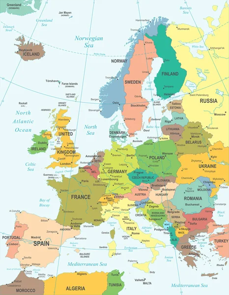
stock vector Europe - map - illustration.

Europe - Map - Illustration.

5400 × 6938
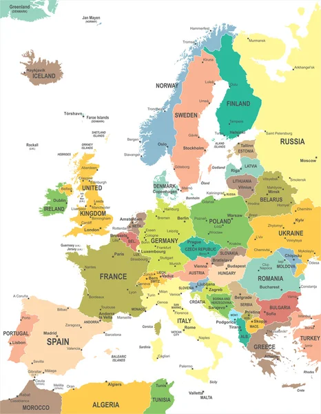
stock vector Europe-highly detailed map.

Europe-highly Detailed Map.

3891 × 5000
stock vector Europe - map - illustration.

Europe - Map - Illustration.

5400 × 6938
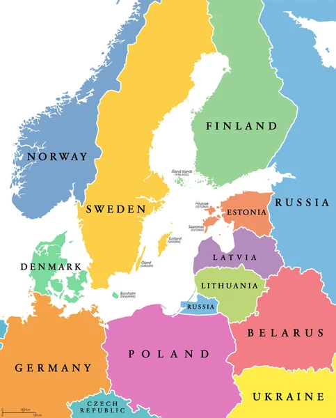
stock vector Baltic Sea area, colored countries, political map, with national borders and English names. Countries along the coast of the Baltic Sea, with surrounding countries in Europe. Isolated illustration.

Baltic Sea Area, Colored Countries, Political Map, With National Borders And English Names. Countries Along The Coast Of The Baltic Sea, With Surrounding Countries In Europe. Isolated Illustration.

6000 × 7434
stock vector Colorful map of Europe continent

Colorful Map Of Europe Continent

4316 × 3863
stock vector Europe Map - Vintage Vector Illustration

Europe Map - Vintage Vector Illustration

5500 × 7066