Home
Images
Vectors
Videos
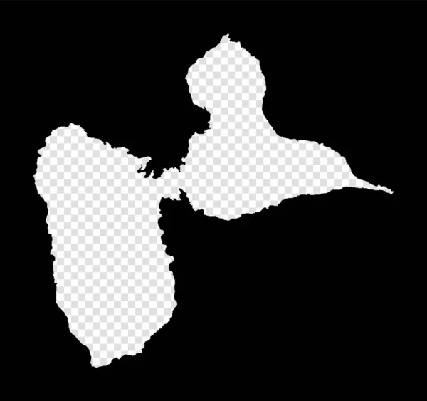
Stock vector BasseTerre Island map Island silhouette icon Isolated BasseTerre Island black map outline
Published:
Feb.05, 2018 11:39:18
Author:
gagarych
Views:
21
Downloads:
0
File type:
vector
/
eps
File size:
0.22 MB
Orginal size:
8333
x
8333
px
Available sizes:
S
(500 x 500)
M
(1000 x 1000)
L
(2000 x 2000)
XL
(8333 x 8333)
VECT
(8333 x 8333)
EL0
(8333 x 8333)
Level:
bronze
Download Vector
Vector topics:
Vector
Graphic
Illustration
Design
High
Isolated
Travel
Transportation
Sea
Black
Silhouette
Border
Symbol
Contour
Information
World
Detailed
Landmark
Globe
Journey
Outline
Country
Map
Geography
Trip
Chart
Tour
International
Boundary
Explore
Island
Government
Sightseeing
Terre
Destination
Democracy
Citizenship
Patriot
Gps
Atlas
Homeland
Democratic
Republican
Geo
Nationalist
Guadeloupe
Basse
Infographics
Guadeloupian
Basse Terre Island Map
Similar stock vectors
Stencil Map Of Basse-Terre Island. Simple And Minimal Transparent Map Of Basse-Terre Island. Black Rectangle With Cut Shape Of The Island. Modern Vector Illustration.
5665 × 5323
Rio De Janeiro Map, State Of Brazil. Vector Illustration.
8334 × 8334
Silhouette Map Of The City Of Rotterdam In The Netherlands
5000 × 3000
The Silhouette Of The City Of Boston In Massachusetts
5000 × 3000
Estonia - Solid Black Silhouette Map Of Country Area. Simple Flat Vector Illustration
6000 × 6000
Silhouette Map Of The City Of Yaounde In Cameroon
5000 × 3000
Silhouette Map Of The City Of Gombe In Nigeria
5000 × 3000
Staffordshire Map, Ceremonial County Of England. Vector Illustration.
8334 × 8334