Home
Images
Vectors
Videos
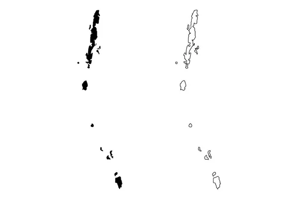
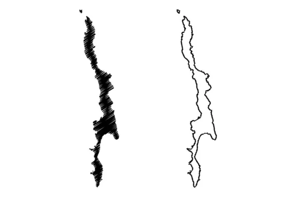
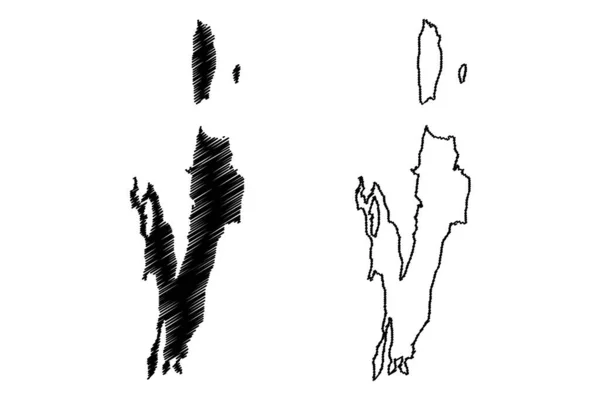
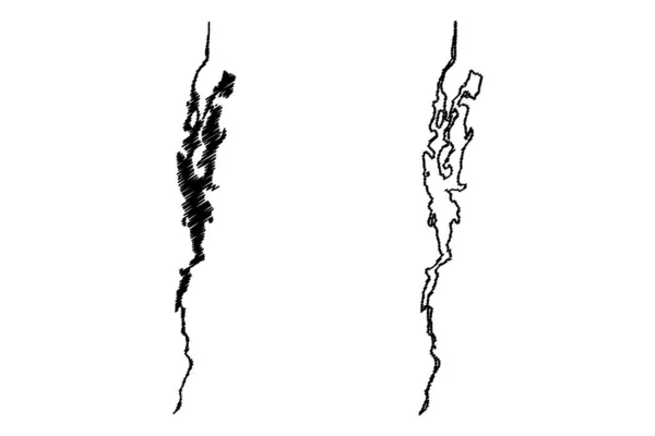
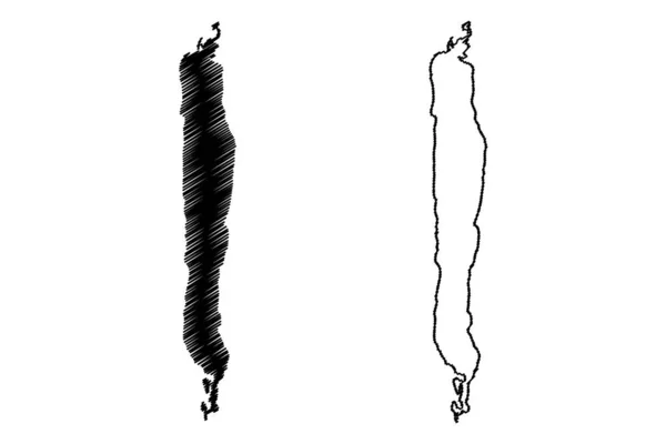
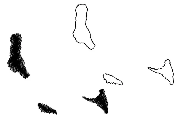
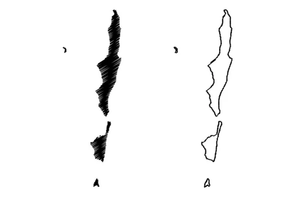
Stock vector Bazaruto Archipelago (Republic of Mozambique, Indian Ocean) map vector illustration, scribble sketch Bazaruto, Benguerra, Magaruque, Santa Carolina island map
Published:
Aug.11, 2022 12:05:46
Author:
Danler
Views:
2
Downloads:
0
File type:
vector
/
eps
File size:
0.78 MB
Orginal size:
7087
x
4726
px
Available sizes:
S
(500 x 333)
M
(1000 x 667)
L
(2000 x 1334)
XL
(7087 x 4726)
VECT
(7087 x 4726)
EL0
(7087 x 4726)
Level:
bronze
Download Vector
Vector topics:
Vector
Illustration
Design
Isolated
Sign
Travel
Abstract
Texture
Line
Silhouette
Border
Symbol
Icon
Flat
Contour
Simple
Drawing
Scratch
Tourism
Sketch
Outline
Country
Map
Cartography
Geography
Area
Africa
Continent
State
Topography
Island
Administrative
Delineation
Region
Scribble
Territory
Borderline
Patriotic
Province
Nation
Autonomy
Oblast
Mozambique
Archipelago
Bazaruto
Similar stock vectors
Andaman And Nicobar Islands (States And Union Territories Of India, Federated States, Republic Of India) Map Vector Illustration, Scribble Sketch Andaman And Nicobar Islands Map
7087 × 4724
Tillangchong Island (Republic Of India, Nicobar Archipelago, Indian Ocean) Map Vector Illustration, Scribble Sketch Tillanchang Map
7087 × 4726
Lake Magadi (Africa, Republic Of Kenya) Map Vector Illustration, Scribble Sketch Map
7087 × 4726
Andaman And Nicobar Islands (States And Union Territories Of India, Federated States, Republic Of India) Map Vector Illustration, Scribble Sketch Andaman And Nicobar Islands Map
7087 × 4724
Lake Champlain (Canada, United States, North America, Us) Map Vector Illustration, Scribble Sketch Lac Champlain Map
7087 × 4726
Lake Beau (Canada, United States, North America, Us) Map Vector Illustration, Scribble Sketch Le Beau Lac Map
7087 × 4726
Black Brush Strokes
5206 × 4685
Comoros Map Vector
7087 × 4724