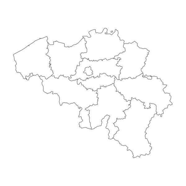
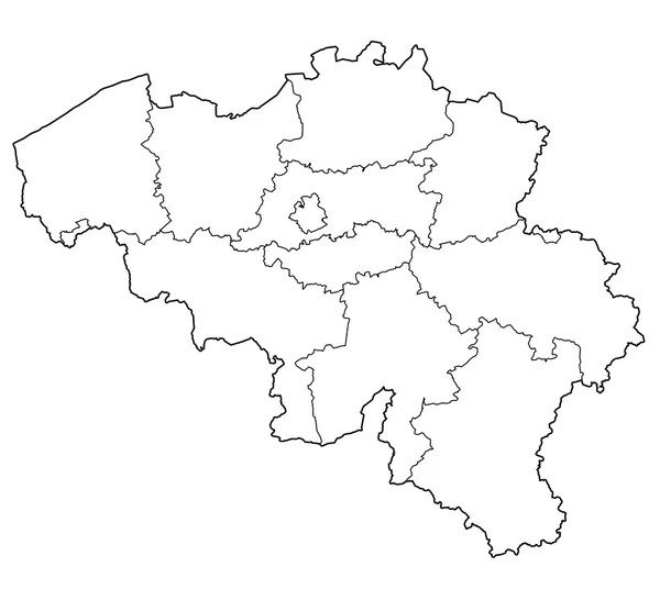
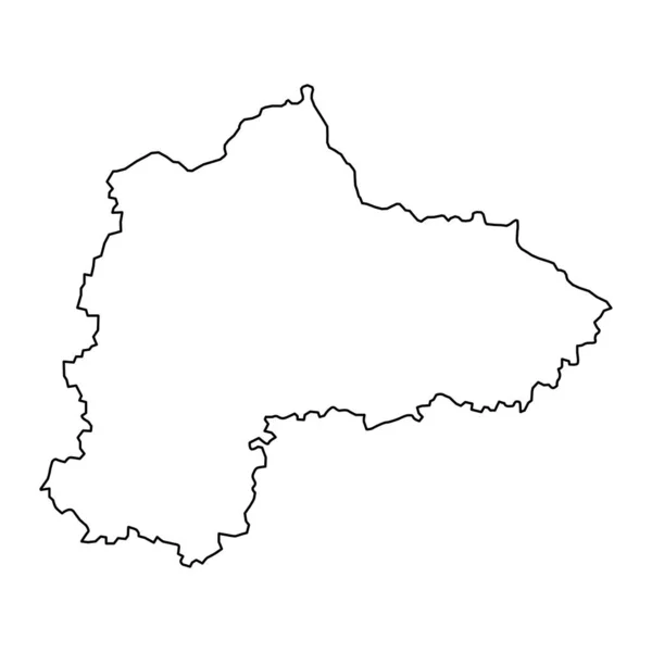
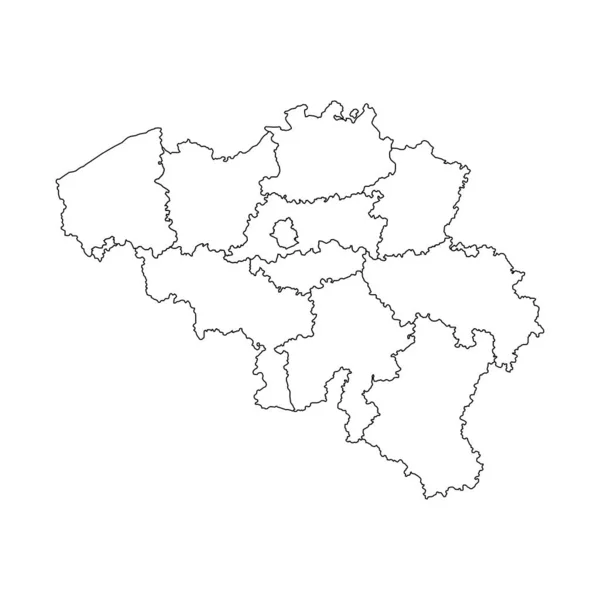
Stock vector Belgium map with provinces. Vector illustration.
Published: Nov.02, 2022 19:40:41
Author: majborodinruslan1990.icloud.com
Views: 3
Downloads: 0
File type: vector / eps
File size: 5.71 MB
Orginal size: 8334 x 8334 px
Available sizes:
Level: beginner