Home
Images
Vectors
Videos
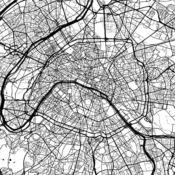
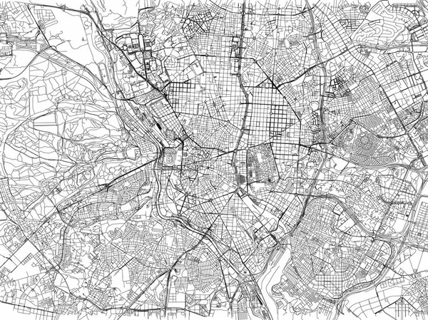
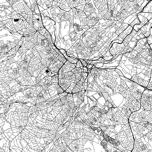
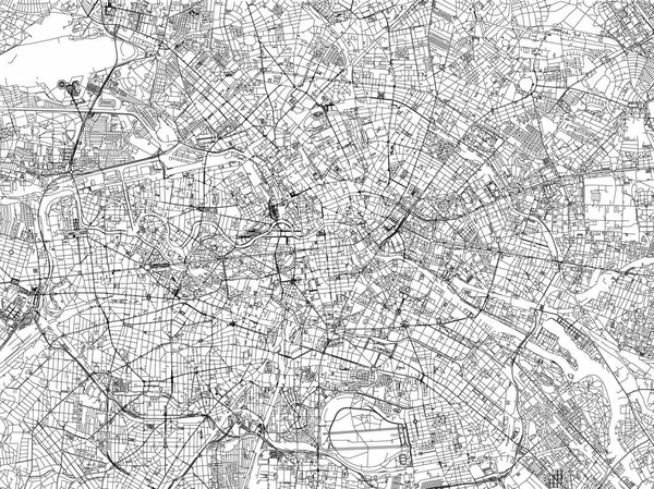
Stock vector Berlin map, cities, streets, Germany, satellite view
Published:
Jun.26, 2017 12:56:06
Author:
vampy1
Views:
425
Downloads:
2
File type:
vector
/
eps
File size:
8.13 MB
Orginal size:
6659
x
4992
px
Available sizes:
S
(500 x 375)
M
(1000 x 750)
L
(2000 x 1499)
XL
(6659 x 4992)
VECT
(6659 x 4992)
EL0
(6659 x 4992)
Level:
silver
Download Vector
Vector topics:
Abstract
Road
Office
Lines
Visit
Tourism
Capital
Section
Vacation
Map
Germany
Sight
Houses
Offices
Rendering
Aerial
Satellite
Berlin
Cities
Streets
Promote
Rivers
Polygons
Orography
Black And White
Similar stock vectors
Streets Of Berlin, City Map, Germany. Street Map
6659 × 4992
Map Of Brussels, Cities, Streets, Belgium
6659 × 4992
Berlin City Map. Detailed Map Of Berlin (Germany). Transport System Of The City
5999 × 4242
Paris, France, Monochrome Map Artprint
8008 × 8009
Manchester Downtown Vector Map
8000 × 8000
Map Of Madrid, Cities, Streets, Spain
6659 × 4992
Black And White Vector City Map Of Madrid With Well Organized Separated Layers.
5686 × 4089
Sheffield Downtown Vector Map
8000 × 8000