Home
Images
Vectors
Videos
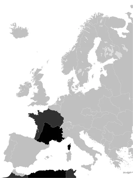
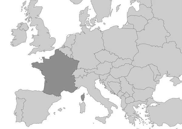
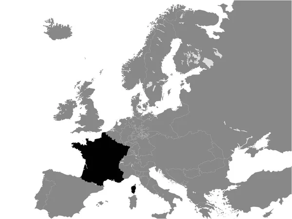
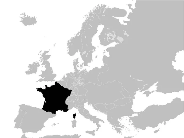
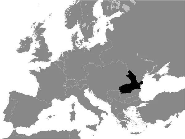
Stock vector Black Flat Map of the French Third Republic (18701940) inside Gray Map of Europe
Published:
Nov.19, 2020 19:25:45
Author:
momcilo.jovanov
Views:
1
Downloads:
0
File type:
vector
/
eps
File size:
11.32 MB
Orginal size:
3600
x
4800
px
Available sizes:
S
(375 x 500)
M
(750 x 1000)
L
(1500 x 2000)
XL
(3600 x 4800)
VECT
(3600 x 4800)
EL0
(3600 x 4800)
Level:
bronze
Download Vector
Vector topics:
Color
White
Vector
Background
Graphic
Illustration
Design
Isolated
Shape
Sign
Art
Travel
Abstract
Border
Flag
Banner
Symbol
Concept
Icon
City
Contour
Earth
World
France
Europe
Outline
Country
Map
Cartography
Geography
National
Continent
Athens
State
Emblem
Patriotism
Political
Administrative
Republic
Official
Region
Patriotic
Province
Nation
Similar stock vectors
Black Flat Map Of The Second French Empire (18521870) Inside Gray Map Of Europe
3600 × 4800
Black Flat Map Of The Vichy France (19401944) Inside Gray Map Of Europe
3600 × 4800
Map Of France Situated In Europe
4960 × 3507
Black Flat Map Of Kingdom Of France (year 1839) Inside Gray Map Of Europe
4800 × 3600
Black Flat Map Of The French Second Republic (1848-1851) Inside Gray Map Of Europe
4800 × 3600
Black Flat Map Of Map Of Kingdom Of Romania (year 1890) Inside Gray Map Of European Continent
4800 × 3600
Black Flat Map Of Kingdom Of Romania (year 1914) Inside Gray Map Of European Continent
4800 × 3600
Black Flat Map Of Holy Roman Empire (year 1097) Inside Gray Map Of Europe
4800 × 3600