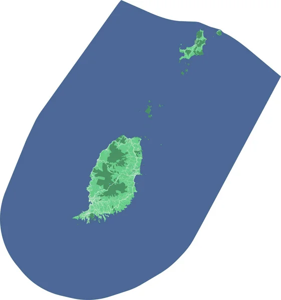
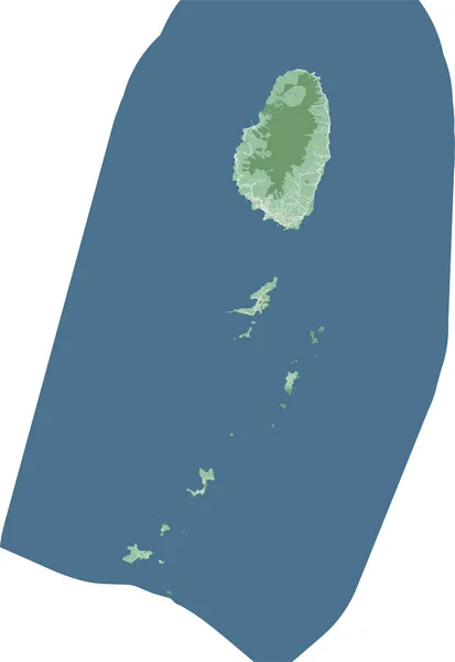
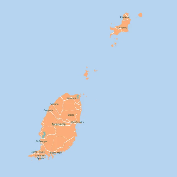
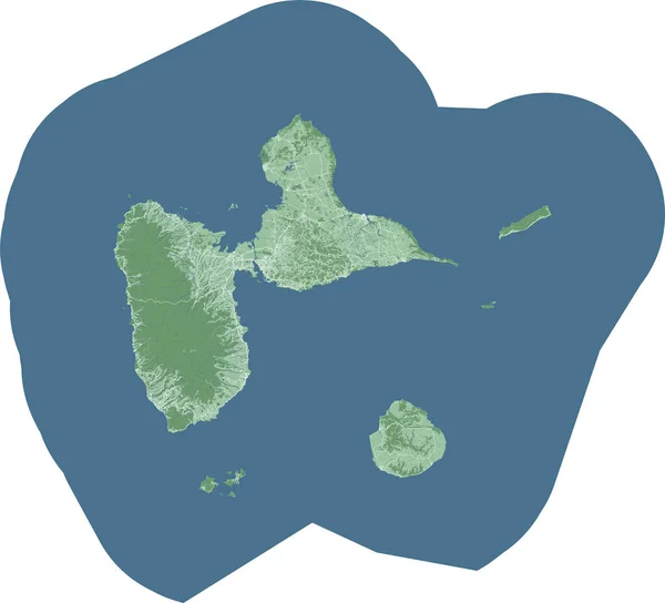
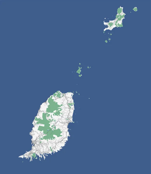
Stock vector Black Grenada map, Caribbean islands country
Published: Nov.11, 2022 07:49:40
Author: Litteralis
Views: 2
Downloads: 0
File type: vector / eps
File size: 27.57 MB
Orginal size: 3901 x 4497 px
Available sizes:
Level: bronze