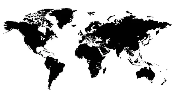
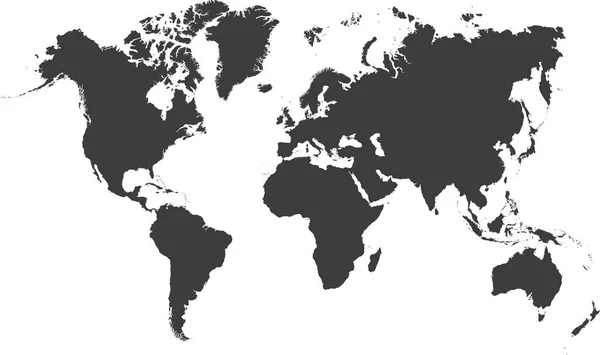
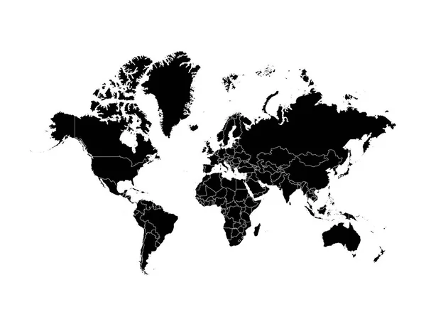
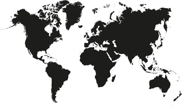
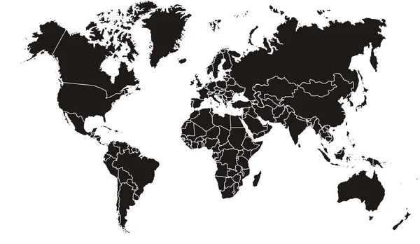
Stock vector Black map of world with countries borders. Very high level of accuracy with satellite

Published: Nov.20, 2019 07:20:54
Author: Exclusivelly
Views: 165
Downloads: 1
File type: vector / eps
File size: 2.13 MB
Orginal size: 6756 x 4350 px
Available sizes:
Level: beginner