Home
Images
Vectors
Videos
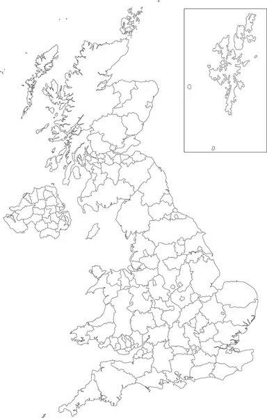
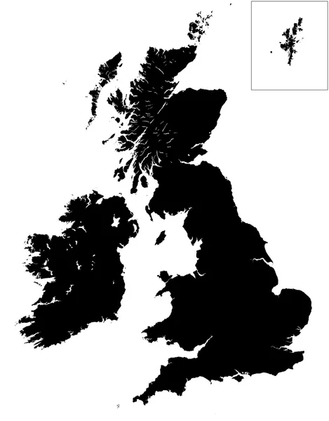
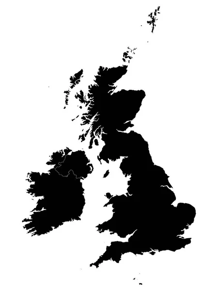
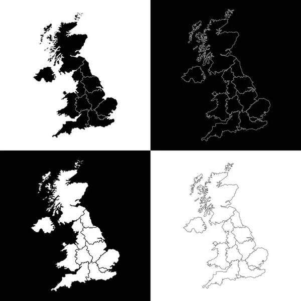
Stock vector Black United Kingdom map
Published:
Oct.02, 2013 10:24:42
Author:
Volina
Views:
322
Downloads:
4
File type:
vector
/
eps
File size:
3.48 MB
Orginal size:
4622
x
7056
px
Available sizes:
S
(328 x 500)
M
(655 x 1000)
L
(1310 x 2000)
XL
(4622 x 7056)
VECT
(4622 x 7056)
EL0
(4622 x 7056)
Level:
silver
Download Vector
Vector topics:
Element
Illustration
Design
Isolated
Travel
Detail
Maple
Cutout
European
Silhouette
Border
Symbol
City
Contour
Detailed
Europe
Outline
Country
District
Map
Geography
National
Continent
Uk
State
Location
Boundary
Political
Administrative
Of
Britain
London
Region
Division
English
British
Territory
Atlas
Province
Wales
Scotland
County
Briton
Territories
Politically
Geographically
Similar stock vectors
Polygonal 2D Mesh High Detail Raster Map Of Great Britain Abstractions
3662 × 6428
Outline United Kingdom Map
3843 × 6004
United Kingdom - Detailed Country Outline And Location On World Map. Vector Illustration
5775 × 5218
High Detail Map Of Great Britain And Ireland
4317 × 5512
Detailed Black Flat Geographical Map Of The British Isles (the United Kingdom, The Isle Of Man, The Republic Of Ireland)
3600 × 4800
Set Of UK Region Map. Vector Illustration.
4000 × 4000