Home
Images
Vectors
Videos
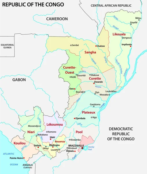
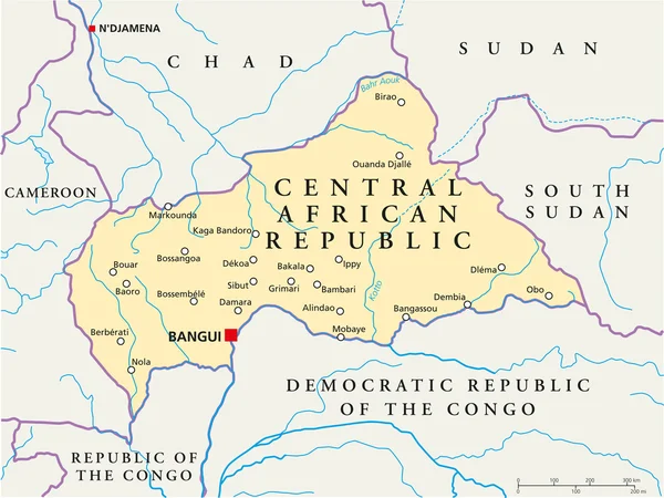
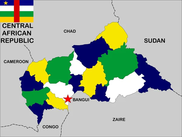
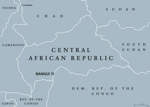
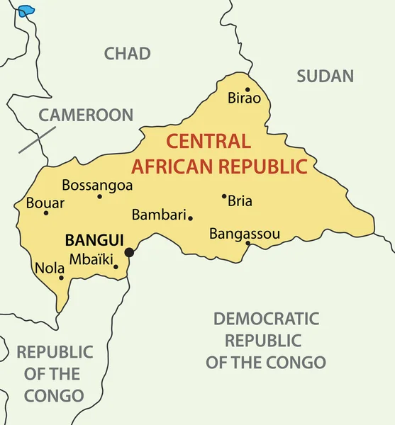
Stock vector Blue-gray detailed map of Central African Republic administrative divisions and location on the globe. Vector illustration
Published:
Oct.23, 2020 06:48:27
Author:
gt29
Views:
0
Downloads:
0
File type:
vector
/
eps
File size:
8.51 MB
Orginal size:
5262
x
5500
px
Available sizes:
S
(478 x 500)
M
(957 x 1000)
L
(1913 x 2000)
XL
(5262 x 5500)
VECT
(5262 x 5500)
EL0
(5262 x 5500)
Level:
bronze
Download Vector
Vector topics:
White
Blue
Vector
Background
Set
Business
Travel
Abstract
Pattern
Border
Weather
3d
African
Gray
Icon
Shadow
Earth
Planet
World
Tourism
Globe
Collection
Sheet
Country
Map
Cartography
Geography
Africa
Continent
Separation
Political
Marker
Separated
Hemisphere
Provinces
Chad
Cameroon
Sudan
Territories
Bangui
Blue Gray
Municipalities
CENTRAL AFRICAN REPUBLIC
Democratic Republic Of Congo
Central African Republic Map
Republic Of Congo
Administrative Divisions
Similar stock vectors
Map Of Central African Republic Vector Illustration
5454 × 5706
Republic Of The Congo Administrative And Political Vector Map
3910 × 4000
Central African Republic Political Map
7991 × 6000
Democratic Republic Of The Congo - Vector Map
4389 × 4388
Central African Republic Map
4639 × 3500
Illustration Of The Congo Democratic Divisions
4231 × 5000
Central African Republic Political Map
9444 × 6757
Central African Republic - Vector Map
3771 × 4056