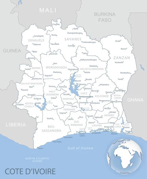
Stock vector Blue-gray detailed map of Cote d'Ivoire administrative divisions and location on the globe. Vector illustration
Published: Nov.03, 2020 09:59:42
Author: gt29
Views: 7
Downloads: 0
File type: vector / eps
File size: 9.82 MB
Orginal size: 5240 x 6397 px
Available sizes:
Level: bronze
Similar stock vectors
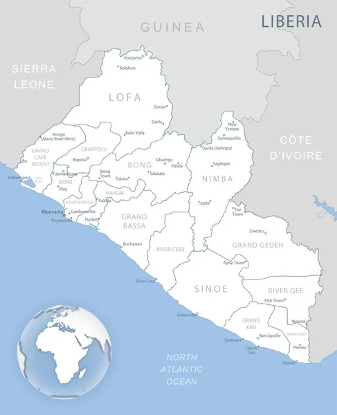
Blue-gray Detailed Map Of Liberia Administrative Divisions And Location On The Globe. Vector Illustration
5228 × 6438