Home
Images
Vectors
Videos
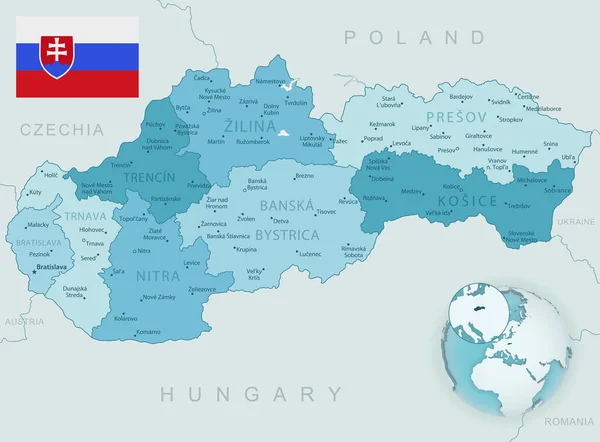
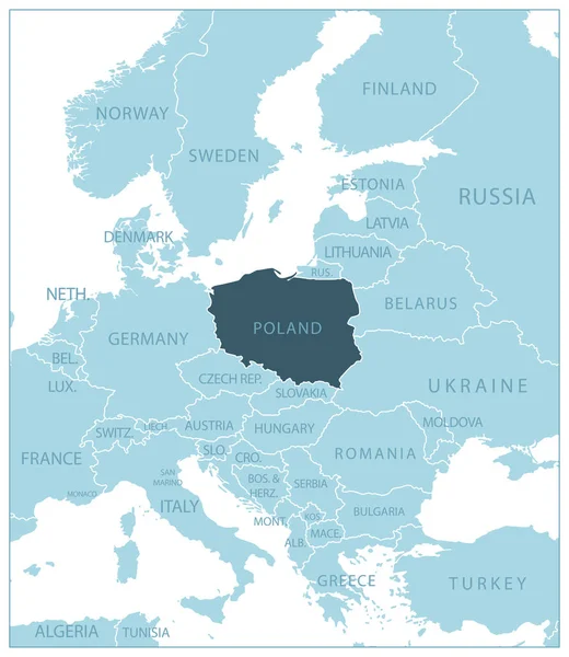
Stock vector Blue-gray detailed map of Poland and administrative divisions and location on the globe.
Published:
Apr.10, 2020 06:49:58
Author:
gt29
Views:
12
Downloads:
1
File type:
vector
/
eps
File size:
16.71 MB
Orginal size:
5241
x
6293
px
Available sizes:
S
(416 x 500)
M
(833 x 1000)
L
(1666 x 2000)
XL
(5241 x 6293)
VECT
(5241 x 6293)
EL0
(5241 x 6293)
Level:
bronze
Download Vector
Vector topics:
White
Blue
Vector
Background
Set
Business
Travel
Abstract
Pattern
European
Border
Weather
3d
Gray
Icon
Shadow
Earth
Planet
World
Tourism
Europe
Globe
Collection
Polish
Sheet
Country
Map
Cartography
Geography
Continent
Separation
State
Political
Marker
Separated
Poland
Poznan
Warsaw
Hemisphere
Wroclaw
Krakow
Gdansk
Provinces
Territories
Blue Gray
Lodz
Municipalities
Poland Map
Administrative Divisions
Similar stock vectors
Poland
3495 × 3246
Poland
5683 × 5279
Poland - Blue Map With Neighboring Countries And Names. Vector Illustration
5261 × 6058
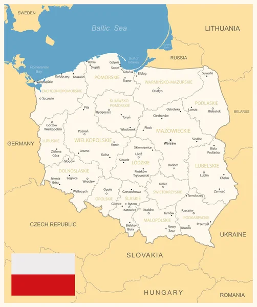
Poland - Detailed Map With Administrative Divisions And Country Flag. Vector Illustration
6018 × 7187
Blue-gray Detailed Map Of Slovakia Administrative Divisions And Location On The Globe. Vector Illustration
6962 × 5143
Highly Detailed Physical Map Of The Poland, In Vector Format,with All The Relief Forms,regions And Big Cities.
7000 × 6631
Poland, Graphic Vector Illustration
5000 × 4646
Blue-green Detailed Map Of Slovakia Administrative Divisions With Country Flag And Location On The Globe. Vector Illustration
6962 × 5143