Home
Images
Vectors
Videos
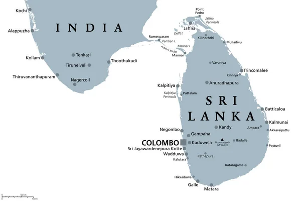
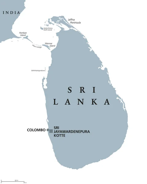
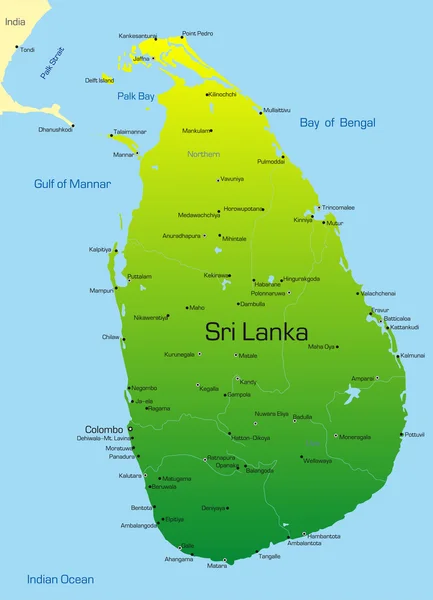
Stock vector Blue-gray detailed map of Sri Lanka administrative divisions and location on the globe. Vector illustration
Published:
Oct.05, 2020 10:47:38
Author:
gt29
Views:
9
Downloads:
0
File type:
vector
/
eps
File size:
16.86 MB
Orginal size:
5238
x
6466
px
Available sizes:
S
(405 x 500)
M
(810 x 1000)
L
(1620 x 2000)
XL
(5238 x 6466)
VECT
(5238 x 6466)
EL0
(5238 x 6466)
Level:
bronze
Download Vector
Vector topics:
White
Blue
Vector
Background
Set
Business
Travel
Abstract
Pattern
Border
Weather
3d
Gray
Icon
Shadow
Earth
Planet
World
Tourism
Globe
Collection
Sheet
Country
Map
Cartography
Geography
Continent
Separation
Asia
State
Political
India
Marker
Separated
Ceylon
Hemisphere
Colombo
Provinces
Territories
Blue Gray
Municipalities
Sri Lanka
Administrative Divisions
Sri Jayawardenepura Kotte
Sri Lanka Map
Similar stock vectors
Sri Lanka
4357 × 6033
Vector Map Of Sri Lanka Country
2663 × 3687
Sri Lanka And Part Of Southern India, Gray Political Map. Democratic Socialist Republic Of Sri Lanka, The Formerly Ceylon, Island Country In South Asia And Indian Ocean, With De Facto Capital Colombo.
9000 × 6000
Democratic Socialist Republic Of Sri Lanka - Vector Map
3541 × 3784
Sri Lanka, Vector Illustration Simple Design
3622 × 5000
Sri Lanka Political Map
7101 × 8888
Sri Lanka
2719 × 3766
District Map Of Sri Lanka.District Map Of Sri Lanka Drawing By Illustration. All District (Twenty Five Districts) In Sri Lanka Include In This Map
3200 × 5000