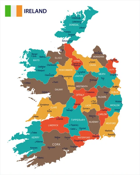
Stock vector Blue-green detailed map of Ireland administrative divisions with country flag and location on the globe. Vector illustration

Published: Jun.09, 2020 07:11:45
Author: gt29
Views: 6
Downloads: 0
File type: vector / eps
File size: 17.62 MB
Orginal size: 5206 x 6494 px
Available sizes:
Level: bronze