Home
Images
Vectors
Videos
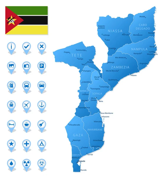
Stock vector Blue map of Mozambique administrative divisions with travel infographic icons. Vector illustration
Published:
Sep.23, 2021 14:12:15
Author:
gt29
Views:
9
Downloads:
0
File type:
vector
/
eps
File size:
0.93 MB
Orginal size:
4866
x
5331
px
Available sizes:
S
(456 x 500)
M
(913 x 1000)
L
(1826 x 2000)
XL
(4866 x 5331)
VECT
(4866 x 5331)
EL0
(4866 x 5331)
Level:
bronze
Download Vector
Vector topics:
White
Blue
Vector
Background
Set
Business
Travel
Abstract
Border
Flag
Road
Icon
Shadow
Earth
World
Tourism
Collection
Layout
Country
Map
Cartography
Geography
Africa
Continent
Separation
State
Political
Marker
Roads
Provinces
Mozambique
Territories
Maputo
Mozambican
Municipalities
Beira
Infographic
Administrative Divisions
Nampula
Mozambique Map
Matola
Travel Infographic
Similar stock vectors
Blue Map Of Togo Administrative Divisions With Travel Infographic Icons. Vector Illustration
5001 × 7359
Mozambique Detailed Administrative Blue Map With Country Flag And Location On The World Map. Vector Illustration
6905 × 5251
Burkina Faso Detailed Administrative Blue Map With Country Flag And Location On The World Map. Vector Illustration
5898 × 5251
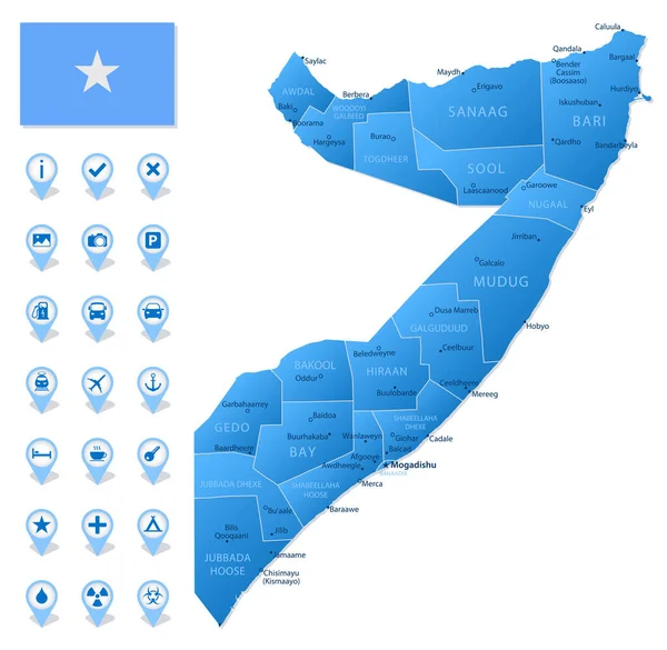
Blue Map Of Somalia Administrative Divisions With Travel Infographic Icons. Vector Illustration
5457 × 5331
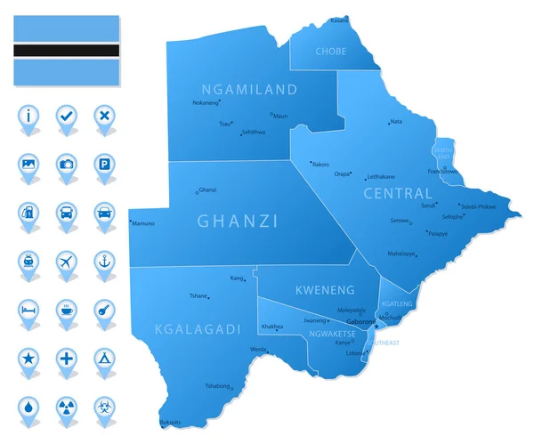
Blue Map Of Botswana Administrative Divisions With Travel Infographic Icons. Vector Illustration
6397 × 5331
Togo Detailed Administrative Blue Map With Country Flag And Location On The World Map.
5976 × 5273
Suriname Detailed Administrative Blue Map With Country Flag And Location On The World Map.
5251 × 5436
Blue Map Of Namibia Administrative Divisions With Travel Infographic Icons. Vector Illustration
7036 × 5331