Home
Images
Vectors
Videos
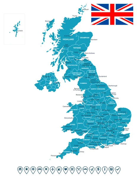
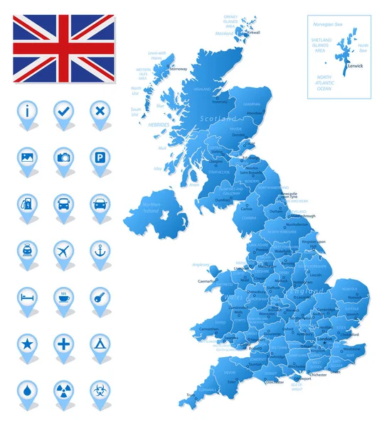
Stock vector Blue map of United Kingdom administrative divisions with travel infographic icons. Vector illustration
Published:
Sep.21, 2021 11:19:57
Author:
gt29
Views:
8
Downloads:
0
File type:
vector
/
eps
File size:
1.82 MB
Orginal size:
4778
x
5331
px
Available sizes:
S
(448 x 500)
M
(896 x 1000)
L
(1793 x 2000)
XL
(4778 x 5331)
VECT
(4778 x 5331)
EL0
(4778 x 5331)
Level:
bronze
Download Vector
Vector topics:
White
Blue
Vector
Background
Set
Business
Travel
Abstract
Border
Flag
Road
Icon
Shadow
Earth
World
Tourism
Europe
Collection
Layout
Country
Map
Cartography
Geography
Continent
Separation
State
Political
Britain
London
Marker
Roads
English
British
England
Wales
Scotland
Provinces
Territories
Municipalities
Infographic
United Kingdom
United Kingdom Flag
Administrative Divisions
Travel Infographic
Similar stock vectors
United Kingdom - Highly Detailed Map.
5001 × 4163
United Kingdom Map And Flag - Illustration.
5400 × 8024
The Detailed Map Of The United Kingdom With Regions Or States And Cities, Capitals. Actual Current Relevant UK, Great Britain Administrative Devision.
5000 × 6500
United KIngdom Map, Flag And Navigation Labels - Illustration.
5400 × 6999
The Detailed Map Of The United Kingdom With Regions Or States And Cities, Capitals. Actual Current Relevant UK, Great Britain Administrative Devision.
5000 × 6500
United Kingdom - Map And Flag - Illustration.
5400 × 6470
United Kingdom - Detailed Blue Country Map With Cities, Regions, Location On World Map And Globe. Infographic Icons. Vector Illustration
6125 × 7496
United Kingdom Map Template 1
5000 × 5000