Home
Images
Vectors
Videos
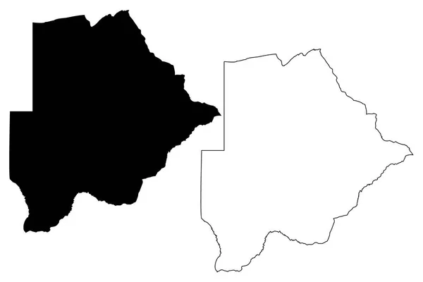
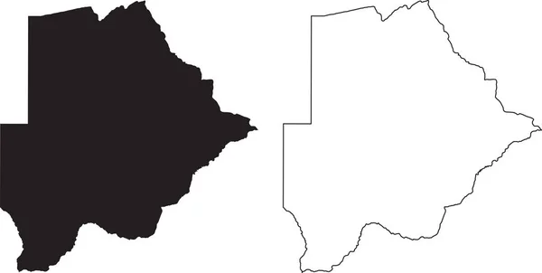
Stock vector Botswana map vector
Published:
Nov.03, 2017 15:45:32
Author:
Danler
Views:
10
Downloads:
0
File type:
vector
/
eps
File size:
0.42 MB
Orginal size:
7087
x
4724
px
Available sizes:
S
(500 x 333)
M
(1000 x 667)
L
(2000 x 1333)
XL
(7087 x 4724)
VECT
(7087 x 4724)
EL0
(7087 x 4724)
Level:
bronze
Download Vector
Vector topics:
White
Vector
Background
Graphic
Illustration
Sign
Travel
Abstract
Black
Silhouette
Border
Banner
Symbol
Icon
Flat
Contour
Drawing
World
Scratch
Tourism
Vacation
Sketch
Outline
Country
Map
Cartography
Geography
National
Africa
Land
State
Topography
Emblem
Borders
Patriotism
Boundary
Destination
Delineation
Scribble
Doodle
Nation
Botswana
Batswana
Infographics
Similar stock vectors
Lunda Norte Province Map Vecto
7087 × 4726
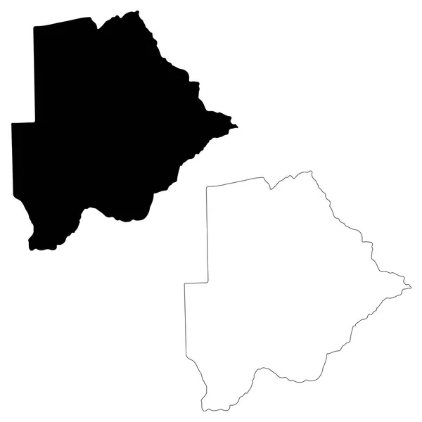
Vector Map Botswana. Isolated Vector Illustration. Black On White Background. EPS 10 Illustration.
5000 × 5000
Jefferson County, Montana (U.S. County, United States Of America, USA, U.S., US) Map Vector Illustration, Scribble Sketch Jefferson Map
7087 × 4726
Botswana Map. Black Silhouette Country Map Isolated On White Background. Black Outline On White Background. Vector Based
12289 × 6188
Silver Bow County, Montana (U.S. County, United States Of America, USA, U.S., US) Map Vector Illustration, Scribble Sketch Butte-Silver Bow Map
7087 × 4726
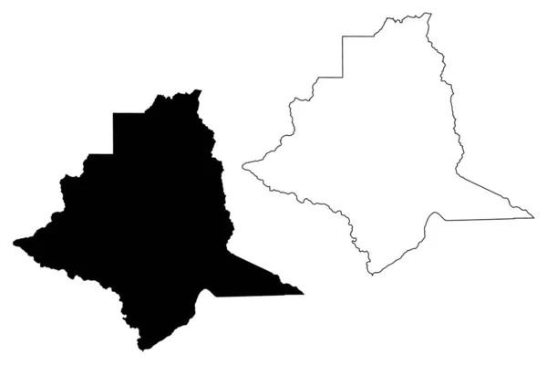
Kara Region (Togolese Republic, Regions Of Togo) Map Vector Illustration, Scribble Sketch Kara Map
7087 × 4726
Centrale Region (Togolese Republic, Regions Of Togo) Map Vector Illustration, Scribble Sketch Centrale Map
7087 × 4726
Kittitas County, State Of Washington (U.S. County, United States Of America, USA, U.S., US) Map Vector Illustration, Scribble Sketch Kittitas Map
7087 × 4726