Home
Images
Vectors
Videos
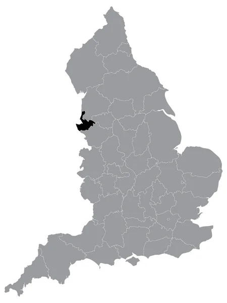
Stock vector Bradford city map England UK labelled black illustration
Published:
Apr.27, 2018 07:40:59
Author:
ingomenhard
Views:
43
Downloads:
1
File type:
vector
/
eps
File size:
7.76 MB
Orginal size:
5229
x
5000
px
Available sizes:
S
(500 x 478)
M
(1000 x 956)
L
(2000 x 1912)
XL
(5229 x 5000)
VECT
(5229 x 5000)
EL0
(5229 x 5000)
Level:
bronze
Download Vector
Vector topics:
Graphic
Illustration
Design
Isolated
Shape
New
Black
Silhouette
Border
Modern
City
Flat
Simple
Country
Map
Area
Trip
State
Countries
Borders
Administrative
Department
Region
Division
Territory
England
Caption
Flats
Labels
County
Divisions
Borough
Regional
Districts
Provinces
Labelled
Bradford
Counties
Departments
Wards
United Kingdom
Similar stock vectors
Modern City Map - Bradford City Of England With Wards And Titles UK Outline Map
5262 × 5000
Modern City Map - Bradford City Of England With Wards And Titles UK
5101 × 5000
Northamptonshire County Administrative Map Divided In Grayscale And Isolated On White Background, England
4394 × 5000
Modern City Map - Bradford With Labelled Boroughs Illustration
5203 × 5000
Leeds City Map England UK Labelled Black Illustration
5987 × 5000
Wuppertal City Map Germany DE Labelled Black Illustration
6021 × 5000
Birmingham City Map England UK Labelled Black Illustration
5000 × 5999
Black Location Map Of English Ceremonial County (Lieutenancy Area) Of Merseyside Within Grey Map Of England
3600 × 4800