Home
Images
Vectors
Videos
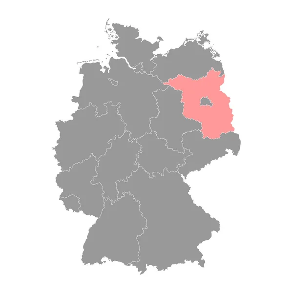
Stock vector Brandenburg region map. Vector illustration.
Published:
Mar.17, 2023 12:12:29
Author:
majborodinruslan1990.icloud.com
Views:
0
Downloads:
0
File type:
vector
/
eps
File size:
6.08 MB
Orginal size:
4000
x
4000
px
Available sizes:
S
(500 x 500)
M
(1000 x 1000)
L
(2000 x 2000)
XL
(4000 x 4000)
VECT
(4000 x 4000)
EL0
(4000 x 4000)
Level:
beginner
Download Vector
Vector topics:
Vector
Graphic
Illustration
Design
Isolated
Sign
Texture
Line
Silhouette
Border
Banner
Symbol
Icon
Contour
Simple
Drawing
Template
Detailed
Capital
Outline
Country
German
District
Map
Cartography
Geography
Area
National
Germany
State
Chart
Topography
Boundary
Political
Administrative
Region
Division
Federal
Territory
Atlas
Province
County
Mapping
Brandenburg
Cut Out
Similar stock vectors
Rhineland Palatinate State Map. Vector Illustration.
4000 × 4000
Saxony State Map. Vector Illustration.
4000 × 4000
Saarland State Map. Vector Illustration.
4000 × 4000
Germany Map Icon Of Brandenburg, Geography Blank Concept, Isolated Graphic Background Vector Illustration .
4096 × 4096
North Rhine Westphalia Map. Vector Illustration.
4000 × 4000
Schleswig Holstein Map. Vector Illustration.
4000 × 4000
Thuringia State Map. Vector Illustration.
4000 × 4000
Lower Saxony State Map. Vector Illustration.
4000 × 4000