Home
Images
Vectors
Videos
Stock vector Burundi Detailed Map With Cities
Published:
Aug.22, 2024 13:05:55
Author:
businessofbasti@gmail.com
Views:
0
Downloads:
0
File type:
vector
/
eps
File size:
0.89 MB
Orginal size:
2401
x
2401
px
Available sizes:
S
(500 x 500)
M
(1000 x 1000)
L
(2000 x 2000)
XL
(2401 x 2401)
VECT
(2401 x 2401)
EL0
(2401 x 2401)
Level:
beginner
Download Vector
Vector topics:
Color
Vector
Background
Colorful
Colored
Illustration
Design
Isolated
Shape
Business
Travel
Silhouette
Border
Multicolor
Symbol
Concept
Icon
City
Flat
Contour
World
Detailed
Outline
Country
Map
Cartography
Geography
National
State
Chart
Politics
Division
Province
Nation
Regions
Burundi
Navigational Equipment
Geographical Locations
Detailed Map
Burundi Map
Burundi Regions
Divided Map
Burundi Cities
Burundi Provinces
Similar stock vectors
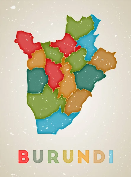
Burundi Map Country Poster With Regions Shape Of Burundi With Country Name Radiant Vector
4909 × 6131
Burundi Map Country Poster With Colored Regions Old Grunge Texture Vector Illustration Of Burundi
1924 × 2602
Dots Burundi Vector Geographical Map
4000 × 4000
Gold Rotated Square Pattern Map Of Burundi
3690 × 4352
Burundi Political Map Of Administrative Divisions - Provinces. Colorful Spectrum Political Map With Labels And Country Name.
8000 × 8000
Dots Burundi Vector Geographical Map
4000 × 4000
Vector Dotted Map Of Burundi Isolated On White Background . Travel Vector Illustration
5000 × 5000
Low Poly Map Of Burundi. Burundi Geometric Polygonal, Mosaic Style Map.
5485 × 5485