Home
Images
Vectors
Videos
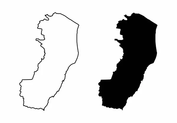
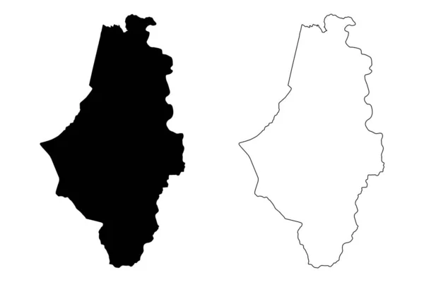
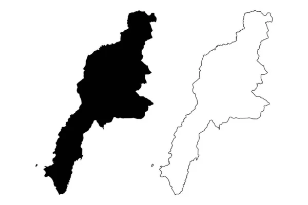
Stock vector Busia County (Republic of Kenya, Western Province) map vector illustration, scribble sketch Busia map
Published:
Oct.07, 2020 07:14:52
Author:
Danler
Views:
0
Downloads:
0
File type:
vector
/
eps
File size:
0.76 MB
Orginal size:
7087
x
4726
px
Available sizes:
S
(500 x 333)
M
(1000 x 667)
L
(2000 x 1334)
XL
(7087 x 4726)
VECT
(7087 x 4726)
EL0
(7087 x 4726)
Level:
bronze
Download Vector
Vector topics:
Vector
Background
Illustration
Design
Isolated
Sign
Travel
Abstract
Texture
Black
Line
Silhouette
Border
Icon
City
Flat
Contour
Drawing
World
Scratch
Town
Eastern
Outline
Country
Map
Cartography
Geography
Area
National
Africa
Continent
State
Topography
Administrative
Republic
Kenya
Region
Scribble
Division
Insignia
Territory
Patriotic
Province
Metropolitan
County
Districts
Autonomy
Oblast
Busia
Similar stock vectors
Kalmar County Map, Province Of Sweden. Vector Illustration.
8334 × 8334
Quneitra Governorate (Governorates Of Syria, Syrian Arab Republic) Map Vector Illustration, Scribble Sketch Quneitra Ma
7087 × 4725
Simple (only Sharp Corners) Map Of Argentina (Argentine Republic
4601 × 4301
Ishikawa Prefecture (Administrative Divisions Of Japan, Prefectures Of Japan) Map Vector Illustration, Scribble Sketch Ishikawa Map
7087 × 4726
Mount Lebanon Governorate (Lebanese Republic, Governorates Of Lebanon) Map Vector Illustration, Scribble Sketch Mount Lebanon Ma
7087 × 4726
Black And White Maps Of The Espirito Santo State, Brazil
5000 × 3500
Caguas Municipality (Commonwealth Of Puerto Rico, Porto Rico, PR, Unincorporated Territories Of The United States) Map Vector Illustration, Scribble Sketch Caguas Map
7087 × 4726
Vector Map Belize. Isolated Vector Illustration. Black On White Background. EPS 10 Illustration.
5000 × 5000