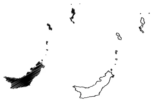
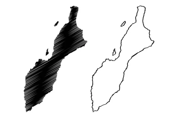
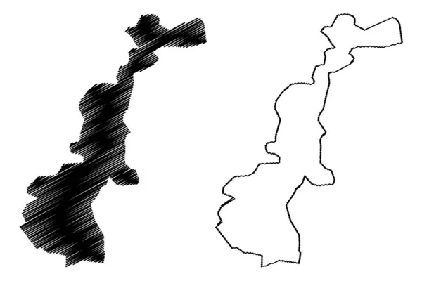
Stock vector Cagayan Valley (Regions and provinces of the Philippines, Republic of the Philippines) map vector illustration, scribble sketch Region II map

Published: Jan.21, 2019 16:59:29
Author: Danler
Views: 0
Downloads: 0
File type: vector / eps
File size: 0.62 MB
Orginal size: 7087 x 4726 px
Available sizes:
Level: bronze