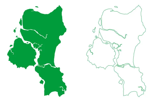
Stock vector Cairu municipality (Bahia state, Municipalities of Brazil, Federative Republic of Brazil) map vector illustration, scribble sketch Cairu map
Published: Jul.07, 2022 12:55:53
Author: Danler
Views: 1
Downloads: 0
File type: vector / eps
File size: 0.94 MB
Orginal size: 7087 x 4726 px
Available sizes:
Level: bronze