photo free
Home Images Vectors Videos

Stock vector Canada - blue map with neighboring countries and names. Vector illustration
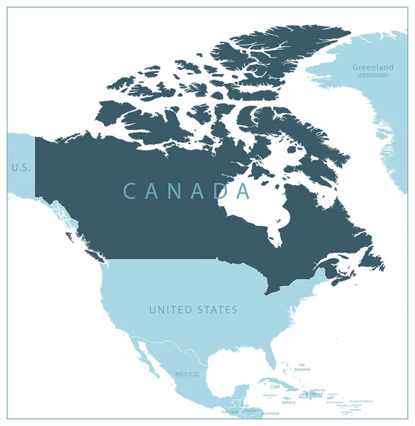
Stock vector Canada - blue map with neighboring countries and names. Vector illustration
Published: Jun.30, 2023 17:11:42
Author: gt29
Views: 1
Downloads: 0
File type: vector / eps
File size: 1.55 MB
Orginal size: 5552 x 5688 px
Available sizes:
S
(488 x 500)
M
(976 x 1000)
L
(1952 x 2000)
XL
(5552 x 5688)
VECT
(5552 x 5688)
EL0
(5552 x 5688)
Level: bronze
Download Vector
Vector topics:

Similar stock vectors

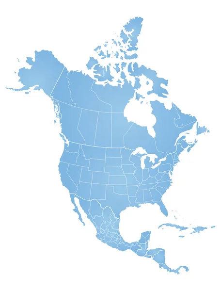
stock vector Map of North America

Map Of North America

6303 × 8281
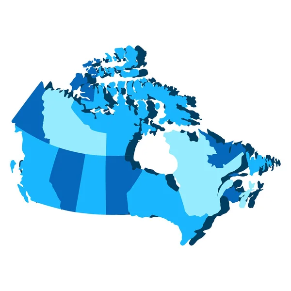
stock vector Political map of Canada

Political Map Of Canada

5315 × 5315
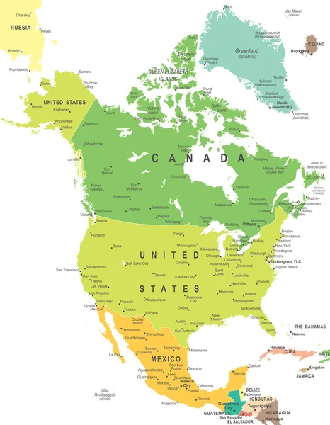
stock vector North America - map - illustration.

North America - Map - Illustration.

5400 × 6943
stock vector North America Map - Vintage Vector Illustration

North America Map - Vintage Vector Illustration

5500 × 7070
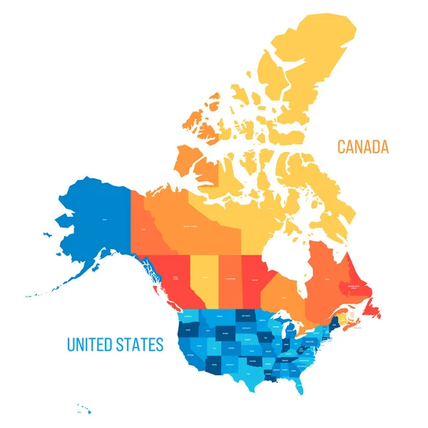
stock vector United States and Canada political map of administrative divisions. Colorful vector map with labels.

United States And Canada Political Map Of Administrative Divisions. Colorful Vector Map With Labels.

8000 × 8000
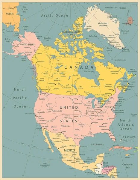
stock vector North America Political Map Vintage Colors. Highly detailed map. All elements are separated in editable layers clearly labeled.

North America Political Map Vintage Colors. Highly Detailed Map. All Elements Are Separated In Editable Layers Clearly Labeled.

3767 × 4826
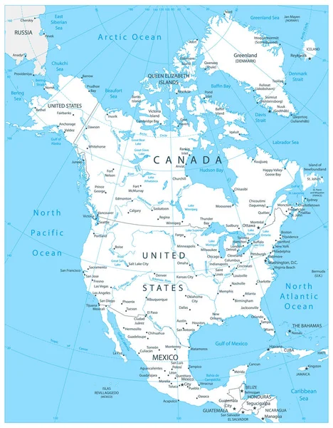
stock vector North America Map White Color. Highly detailed map. All elements are separated in editable layers clearly labeled. Vector

North America Map White Color. Highly Detailed Map. All Elements Are Separated In Editable Layers Clearly Labeled. Vector

3767 × 4826
stock vector Map of Canada green highlighted with neighbor countries

Map Of Canada Green Highlighted With Neighbor Countries

6000 × 6000