Home
Images
Vectors
Videos
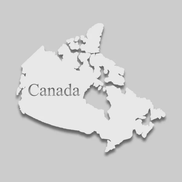
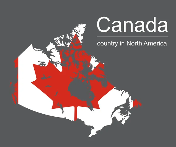
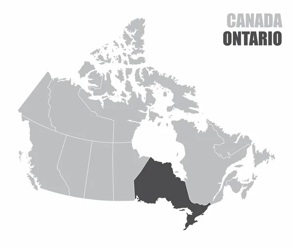
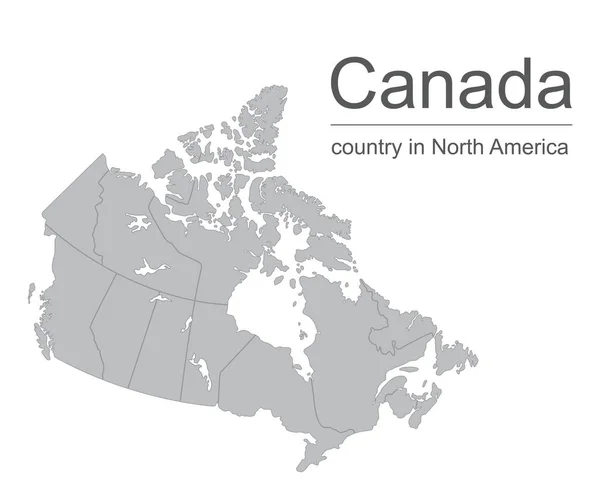
Stock vector Canada map vector outline illustration with provinces or states borders on a white background
Published:
Jun.20, 2018 06:50:49
Author:
klerik78
Views:
84
Downloads:
3
File type:
vector
/
eps
File size:
3.85 MB
Orginal size:
5000
x
4167
px
Available sizes:
S
(500 x 417)
M
(1000 x 833)
L
(2000 x 1667)
XL
(5000 x 4167)
VECT
(5000 x 4167)
EL0
(5000 x 4167)
Level:
bronze
Download Vector
Vector topics:
White
Vector
Background
Illustration
Isolated
Shape
New
Border
Flat
World
Country
District
Map
Cartography
Geography
Prince
Labrador
Boundary
Island
Canada
States
Toronto
Territory
Canadian
Province
Nova
Northwest
County
Ontario
Ottawa
Columbia
Outlines
Quebec
Alberta
Edward
Yukon
Provinces
Scotia
Newfoundland
Brunswick
Manitoba
Nunavut
Saskatchewan
North America
British Columbia
Similar stock vectors
Canada Map And Flag On Black Background, Vector Illustration
5000 × 4167
Blue Map Of Canada With Indication Of Ottawa
4200 × 3780
Map Of Canada
4000 × 4000
The Canada Silhouette Map Isolated On White Background
5000 × 4244
Canada Vector Map . Country Contour In The Context Of Continent
7609 × 5833
Canada Map And Flag On Black Background, Vector Illustration
5000 × 4167
The Canada Map With The Highlighted Ontario Province
5000 × 4244