Home
Images
Vectors
Videos
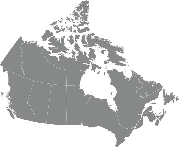
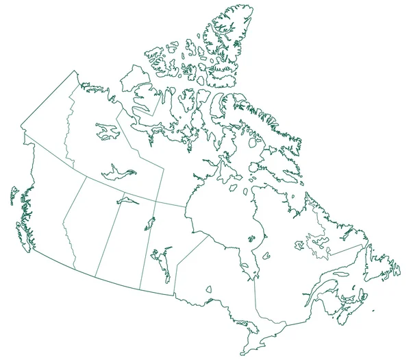
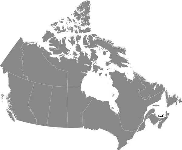
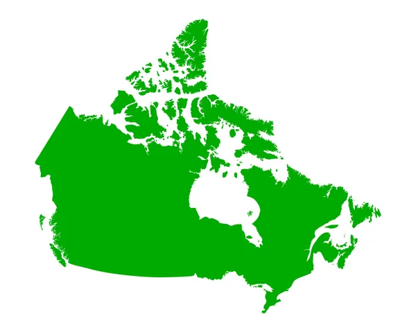
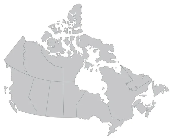
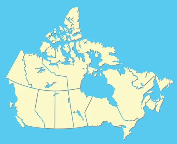
Stock vector Canadian Map
Published:
Mar.28, 2011 14:19:29
Author:
emirsimsek
Views:
929
Downloads:
6
File type:
vector
/
eps
File size:
0.51 MB
Orginal size:
2808
x
2286
px
Available sizes:
S
(500 x 407)
M
(1000 x 814)
L
(2000 x 1628)
XL
(2808 x 2286)
VECT
(2808 x 2286)
EL0
(2808 x 2286)
Level:
bronze
Download Vector
Vector topics:
Vector
Illustration
New
Border
Pole
Ocean
North
Globe
Country
Map
Pacific
Land
America
Political
Canada
Of
Atlantic
Educational
Canadian
Northwest
Nation
Ontario
Quebec
Alberta
Yukon
Provinces
Regions
Manitoba
Nunavut
Saskatchewan
Territories
Dominion
Artic
Similar stock vectors
Gray Flat Blank Vector Administrative Map Of CANADA With White Border Lines Of Its Provinces And Territories
5404 × 4442
Contour Map Of The Canada
4724 × 4134
Canada
4567 × 3465
Black Flat Blank Highlighted Locator Administrative Map Of The Canadian Province Of PRINCE EDWARD ISLAND Inside Gray Flat Map Of CANADA
5404 × 4442
Black Location Map Of Prince Edward Island Province Inside Gray Map Of Canada
5203 × 4276
Map Political Abstract Of The World
4567 × 3465
Map Of Canada
5000 × 4000
Map Of Canada
4500 × 3640