photo free
Home Images Vectors Videos

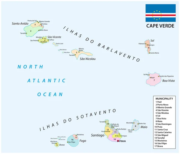
Stock vector Cape Verde islands highly detailed vector map with administrative regions, main cities and roads.
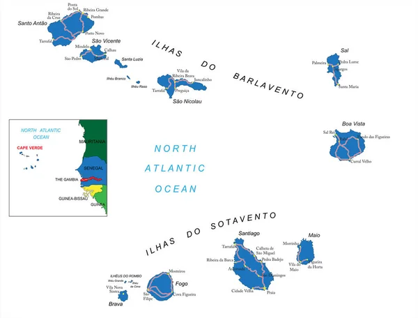
Stock vector Cape Verde islands highly detailed vector map with administrative regions, main cities and roads.
Published: Jul.06, 2020 08:59:19
Author: BogdanSerban
Views: 2
Downloads: 0
File type: vector / eps
File size: 1.29 MB
Orginal size: 5000 x 3807 px
Available sizes:
S
(500 x 381)
M
(1000 x 761)
L
(2000 x 1523)
XL
(5000 x 3807)
VECT
(5000 x 3807)
EL0
(5000 x 3807)
Level: beginner
Download Vector
Vector topics:

Similar stock vectors

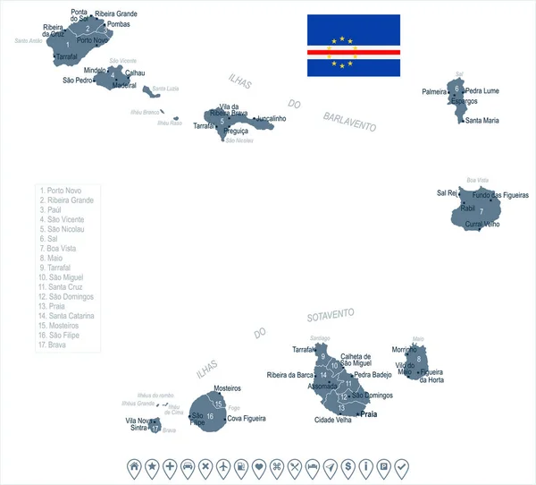
stock vector cape verde administrative map with flag

Cape Verde Administrative Map With Flag

4327 × 3713
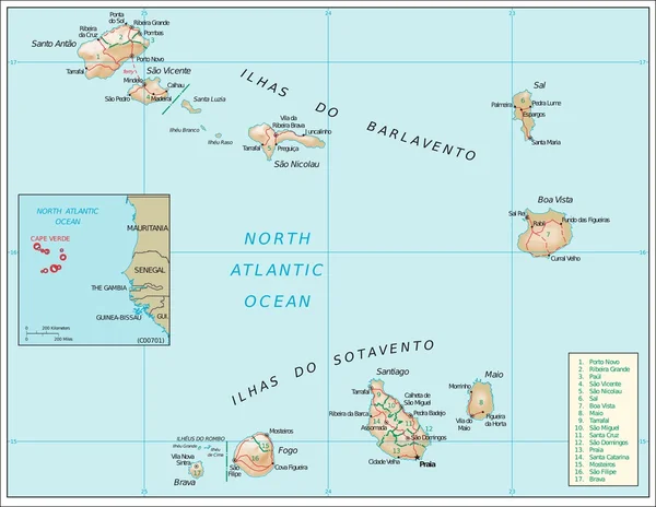
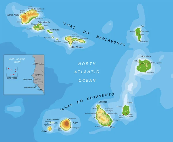
stock vector Cape Verdephysiography map

Cape Verdephysiography Map

6456 × 5002
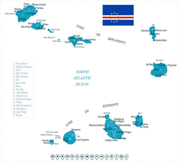
stock vector Cape Verde - map and flag - Detailed Vector Illustration

Cape Verde - Map And Flag - Detailed Vector Illustration

6084 × 5500
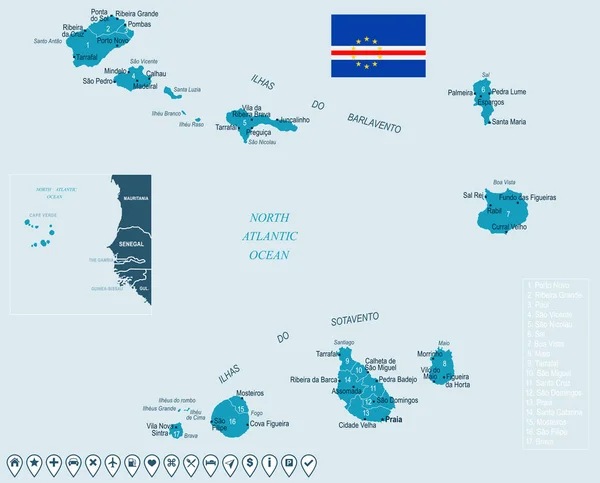
stock vector Cape Verde - map and flag - Detailed Vector Illustration

Cape Verde - Map And Flag - Detailed Vector Illustration

6817 × 5500
stock vector Cape Verde - map and flag Detailed Vector Illustration

Cape Verde - Map And Flag Detailed Vector Illustration

6084 × 5500
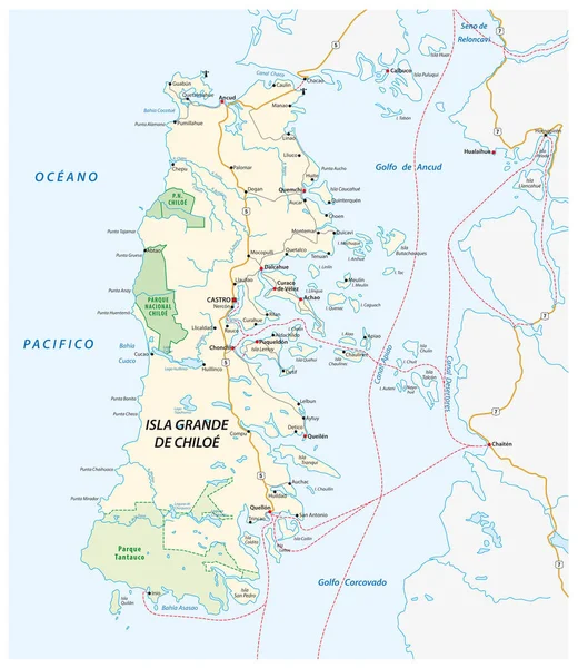
stock vector Vector road map of the Chilean island of Chiloe, Chile

Vector Road Map Of The Chilean Island Of Chiloe, Chile

3100 × 3570
stock vector Seychelles Map - Vintage Detailed Vector Illustration

Seychelles Map - Vintage Detailed Vector Illustration

5500 × 6432
stock vector Cape Verde highly detailed physical map

Cape Verde Highly Detailed Physical Map

7500 × 6155