Home
Images
Vectors
Videos
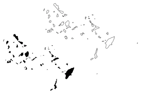
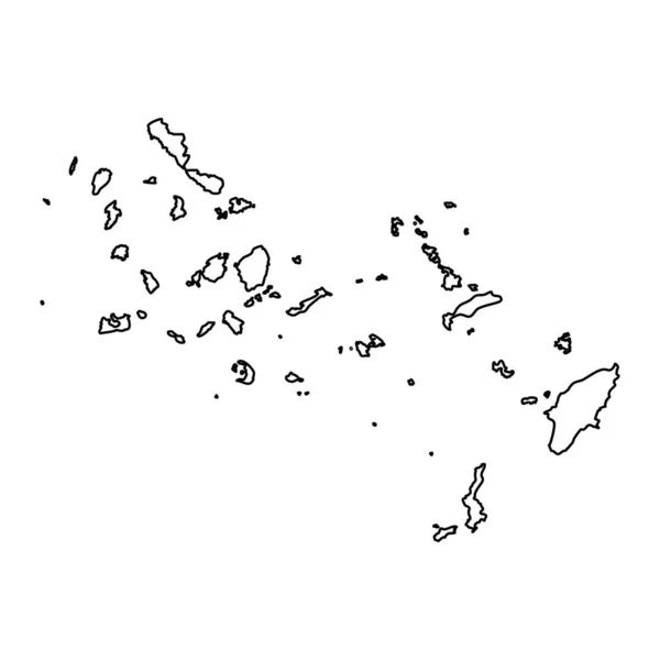
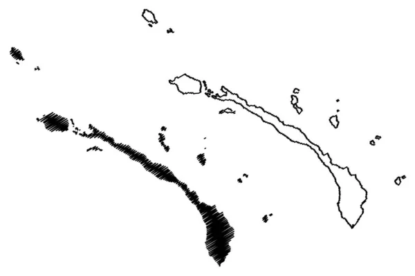
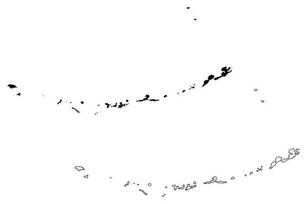
Stock vector Cape verde islands map vector
Published:
Nov.14, 2017 07:28:37
Author:
Danler
Views:
47
Downloads:
0
File type:
vector
/
eps
File size:
0.4 MB
Orginal size:
7087
x
4724
px
Available sizes:
S
(500 x 333)
M
(1000 x 667)
L
(2000 x 1333)
XL
(7087 x 4724)
VECT
(7087 x 4724)
EL0
(7087 x 4724)
Level:
bronze
Download Vector
Vector topics:
White
Vector
Background
Illustration
Isolated
Shape
Holiday
Travel
Abstract
Black
Silhouette
Border
Banner
Symbol
Icon
Flat
Contour
Drawing
Education
World
Scratch
Tourism
Vacation
Sketch
Outline
Country
Map
Cartography
Geography
National
Africa
Land
State
Borders
Island
Delineation
Islands
Scribble
Doodle
Boundaries
Borderline
Patriotic
Nation
Homeland
Archipelago
Cape Verde
Cabo Verde
Similar stock vectors
Map Of Cape Verde
5000 × 4000
South Aegean Region (Greece, Hellenic Republic, Hellas) Map Vector Illustration, Scribble Sketch South Aegean Map
7087 × 4726
South Aegean Region (Greece, Hellenic Republic, Hellas) Map Vector Illustration, Scribble Sketch South Aegean Map
7087 × 4726
South Aegean Region Map, Administrative Region Of Greece. Vector Illustration.
8334 × 8334
New Ireland Province (Independent State Of Papua New Guinea, PNG, Provinces Of Papua New Guinea) Map Vector Illustration, Scribble Sketch New Mecklenburg Ma
7087 × 4726
Cape Verde Map. Black Silhouette Country Map Isolated On White Background. Black Outline On White Background. Vector File
5662 × 12196
Aleutians West Census Area, Alaska (Boroughs And Census Areas In Alaska, United States Of America,USA, U.S., US) Map Vector Illustration, Scribble Sketch Aleutian, Attu, Unalaska, Pribilof Islands Map
7087 × 4726
Vector Map Comoros. Isolated Vector Illustration. Black On White Background. EPS 10 Illustration.
5000 × 5000