Home
Images
Vectors
Videos
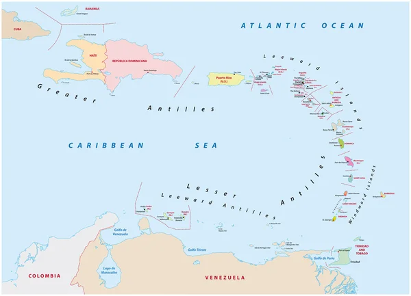
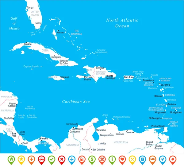
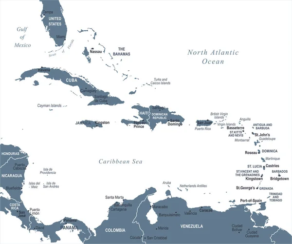
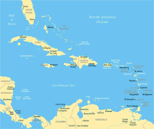
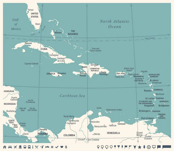
Stock vector Caribbean Islands Political Map
Published:
Mar.24, 2014 11:27:59
Author:
Furian
Views:
933
Downloads:
7
File type:
vector
/
eps
File size:
4.52 MB
Orginal size:
9288
x
7191
px
Available sizes:
S
(500 x 387)
M
(1000 x 774)
L
(2000 x 1548)
XL
(9288 x 7191)
VECT
(9288 x 7191)
EL0
(9288 x 7191)
Level:
silver
Download Vector
Vector topics:
Illustration
Ocean
Globe
Map
Cartography
Geography
Atlantic
Islands
The
Caribbean
Panama
Atlas
Jamaica
Cuba
Havana
Travels
Venezuela
Bahamas
Colombia
Dominica
Barbados
Grenada
Haiti
Honduras
Nicaragua
Martinique
Guadeloupe
Nassau
Antilles
Port Au Prince
Kingston
Politically
Costa Rica
SANTO DOMINGO
Map Of The World
Atlantic Ocean
San Juan
Puerto Rico
Dominican Republic
Gulf Of Mexico
Caribbean Islands
Similar stock vectors
Map Of The States Of The Lesser Antilles
6772 × 4893
The Caribbean Map - Vector Illustration
6062 × 5500
The Caribbean Map - Vector Illustration
6598 × 5500
The Caribbean Map - Vector Illustration
6598 × 5500
The Caribbean Map - Vintage Vector Illustration
6340 × 5500
The Map Is Modern In Design And Contains All The Important Topographical Information
6808 × 4328
Cuba Map - Vintage Detailed Vector Illustration
7576 × 5500
Bahamas Islands Highly Detailed Physical Map
7500 × 7174