photo free
Home Images Vectors Videos

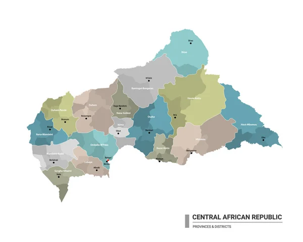
Stock vector Central African Republic vector maps with administrative regions, municipalities, departments, borders

Stock vector Central African Republic vector maps with administrative regions, municipalities, departments, borders
Published: Feb.27, 2020 19:41:58
Author: Litteralis
Views: 0
Downloads: 0
File type: vector / eps
File size: 7.54 MB
Orginal size: 5312 x 4169 px
Available sizes:
S
(500 x 392)
M
(1000 x 785)
L
(2000 x 1570)
XL
(5312 x 4169)
VECT
(5312 x 4169)
EL0
(5312 x 4169)
Level: bronze
Download Vector
Vector topics:

Similar stock vectors

stock vector Vector illustration of outline map of Central African Republic. High-detail border map. Silhouette of a country map isolated on a white background. Map for infographic and geographic information.

Vector Illustration Of Outline Map Of Central African Republic. High-detail Border Map. Silhouette Of A Country Map Isolated On A White Background. Map For Infographic And Geographic Information.

4000 × 4000
stock vector Vector hexagon map of Central African Republic on a white background

Vector Hexagon Map Of Central African Republic On A White Background

5000 × 5000
stock vector Map of Central African Republic. Vector illustration. World map

Map Of Central African Republic. Vector Illustration. World Map

6250 × 5000
stock vector vector map of Central African Republic isolated on transparent background

Vector Map Of Central African Republic Isolated On Transparent Background

6000 × 6000
stock vector High detailed vector map of Central African Republic with pins.

High Detailed Vector Map Of Central African Republic With Pins.

5867 × 5867
stock vector vector map of Central African Republic isolated on transparent background

Vector Map Of Central African Republic Isolated On Transparent Background

6000 × 6000
stock vector Central African Republic higt detailed map with subdivisions. Administrative map of Central African Republic with districts and cities name, colored by states and administrative districts. Vector illustration with editable and labelled layers.

Central African Republic Higt Detailed Map With Subdivisions. Administrative Map Of Central African Republic With Districts And Cities Name, Colored By States And Administrative Districts. Vector Illustration With Editable And Labelled Layers.

4500 × 3600
stock vector Vector halftone Dotted map of Central African Republic country for your design, Travel Illustration concept.

Vector Halftone Dotted Map Of Central African Republic Country For Your Design, Travel Illustration Concept.

3952 × 2954