Home
Images
Vectors
Videos
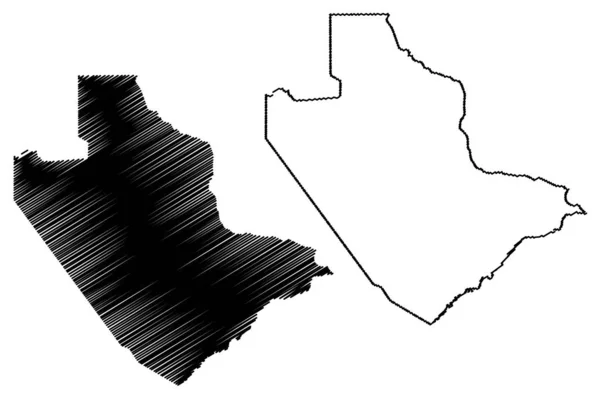
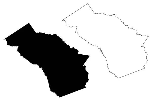
Stock vector Central District (Districts of Botswana, Republic of Botswana) map vector illustration, scribble sketch Central map
Published:
Jan.03, 2020 11:42:34
Author:
Danler
Views:
0
Downloads:
0
File type:
vector
/
eps
File size:
0.57 MB
Orginal size:
7087
x
4726
px
Available sizes:
S
(500 x 333)
M
(1000 x 667)
L
(2000 x 1334)
XL
(7087 x 4726)
VECT
(7087 x 4726)
EL0
(7087 x 4726)
Level:
bronze
Download Vector
Vector topics:
Vector
Background
Illustration
Design
Isolated
Sign
Travel
Abstract
Texture
Black
Line
Silhouette
Border
Icon
City
Flat
Contour
Drawing
World
Scratch
Town
Outline
Country
Map
Cartography
Geography
Area
National
Africa
Continent
State
Topography
Administrative
Republic
Region
Scribble
Division
Central
Insignia
Territory
Patriotic
Province
Metropolitan
County
Districts
Autonomy
Oblast
Botswana
Landlocked
Serowe
Similar stock vectors
Jonglei State (States Of South Sudan, Greater Upper Nile Region) Map Vector Illustration, Scribble Sketch Jonglei Map
7087 × 4726
Saladin Governorate Map Vecto
7087 × 4726
Central District (Districts Of Botswana, Republic Of Botswana) Map Vector Illustration, Scribble Sketch Central Map
7087 × 4726
Taylor County, Florida (U.S. County, United States Of America, USA, U.S., US) Map Vector Illustration, Scribble Sketch Taylor Map
7087 × 4726
Rockcastle County, Kentucky (U.S. County, United States Of America, USA, U.S., US) Map Vector Illustration, Scribble Sketch Rockcastle Map
7087 × 4726
Oconee County, Georgia (U.S. County, United States Of America,USA, U.S., US) Map Vector Illustration, Scribble Sketch Oconee Map
7087 × 4726
Lycoming County, Commonwealth Of Pennsylvania (U.S. County, United States Of America, USA, U.S., US) Map Vector Illustration, Scribble Sketch Lycoming Map
7087 × 4726
Africa Tanzania Dodoma Icon In Outline Style
4096 × 4010