Home
Images
Vectors
Videos
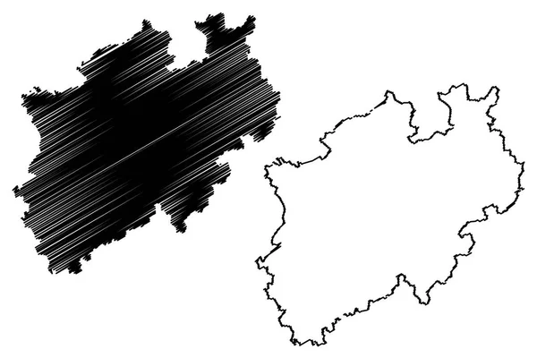
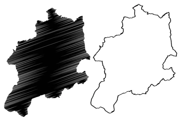
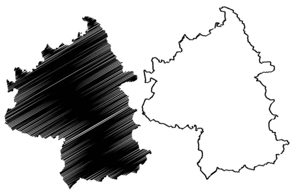
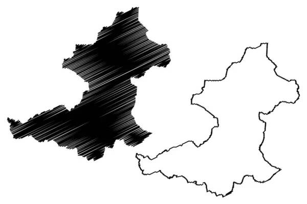
Stock vector Central Kalimantan (Subdivisions of Indonesia, Provinces of Indonesia) map vector illustration, scribble sketch Central Kalimantan map
Published:
Nov.21, 2018 13:58:44
Author:
Danler
Views:
4
Downloads:
0
File type:
vector
/
eps
File size:
0.63 MB
Orginal size:
7087
x
4726
px
Available sizes:
S
(500 x 333)
M
(1000 x 667)
L
(2000 x 1334)
XL
(7087 x 4726)
VECT
(7087 x 4726)
EL0
(7087 x 4726)
Level:
bronze
Download Vector
Vector topics:
Vector
Background
Illustration
Design
Isolated
Sign
Travel
Abstract
Texture
Line
Silhouette
Border
Banner
Icon
Flat
Contour
Simple
Drawing
World
Scratch
Sketch
Outline
Country
Map
Cartography
Geography
Area
National
Continent
Asia
State
Topography
Island
Administrative
Republic
Region
Scribble
Insignia
Territory
Patriotic
Province
Indonesia
County
Borneo
Autonomy
Oblast
Archipelago
Kalimantan
Central Kalimantan
Palangka Raya
Similar stock vectors
North Rhine-Westphalia (Federal Republic Of Germany, State Of Germany, NRW) Map Vector Illustration, Scribble Sketch North Rhine-Westphalia Map
7087 × 4724
Nizhny Novgorod Oblast (Russia, Subjects Of The Russian Federation, Oblasts Of Russia) Map Vector Illustration, Scribble Sketch Nizhegorod Oblast (Gorky Oblast) Map
7087 × 4724
Bielsko-Biala City (Republic Of Poland, Silesian Voivodeship) Map Vector Illustration, Scribble Sketch City Of Bielsko Biala Map
7087 × 4726
Yambol Province (Republic Of Bulgaria, Provinces Of Bulgaria) Map Vector Illustration, Scribble Sketch Yambol Okrug Map
7087 × 4726
Borken District (Federal Republic Of Germany, State Of North Rhine-Westphalia, NRW, Munster Region) Map Vector Illustration, Scribble Sketch Borken Map
7087 × 4726
Ribble Valley Non-metropolitan District, Borough (United Kingdom Of Great Britain And Northern Ireland, Ceremonial County Lancashire Or Lancs, England) Map Vector Illustration, Scribble Sketch Map
7087 × 4726
Steinfurt District (Federal Republic Of Germany, State Of North Rhine-Westphalia, NRW, Munster Region) Map Vector Illustration, Scribble Sketch Steinfurt Map
7087 × 4726
Xinjiang Uyghur Autonomous Region (Administrative Divisions Of China, China, People's Republic Of China, PRC) Map Vector Illustration, Scribble Sketch Xinjiang Map
7087 × 4724