Home
Images
Vectors
Videos
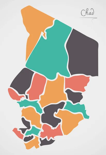
Stock vector Chad political map of administrative divisions - regions. Colorful spectrum political map with labels and country name.
Published:
Sep.08, 2023 09:27:40
Author:
pyty
Views:
0
Downloads:
0
File type:
vector
/
eps
File size:
0.42 MB
Orginal size:
8000
x
8000
px
Available sizes:
S
(500 x 500)
M
(1000 x 1000)
L
(2000 x 2000)
XL
(8000 x 8000)
VECT
(8000 x 8000)
EL0
(8000 x 8000)
Level:
silver
Download Vector
Vector topics:
Vector
Colorful
Colored
Illustration
Design
Happy
Label
Colourful
Border
Detailed
Name
Country
District
Map
Cartography
Geography
Area
National
Africa
Land
Unit
Spectrum
State
Sovereign
Boundary
Government
Political
Administrative
Department
Region
Division
Federal
Atlas
Local
Province
Nation
Subdivision
Geographical
Regional
Divided
Autonomy
Entity
Autonomous
Chad
Chadian
NDjamena
Unitary
Infographic
Similar stock vectors
Chad Higt Detailed Map With Subdivisions. Administrative Map Of Chad With Districts And Cities Name, Colored By States And Administrative Districts. Vector Illustration With Editable And Labelled Layers.
4000 × 5000
Golden Square Mosaic Map Of Chad
5768 × 4334
Isometric Map Of Chad Detailed Vector Illustration
6000 × 6000
Vector Abstract Hatched Map Of Chad Isolated On A White Background.
5000 × 5000
Vector Polygonal Mesh Chad Map
3400 × 4867
Map And Flag Of Chad Vector Design Template With Editable Stroke
5000 × 5000
Chad Region Map Grey Outline On White Background Detailed Map Of Chad Regions Vector
8333 × 8333
Chad Map With States And Modern Round Shapes
5000 × 7309