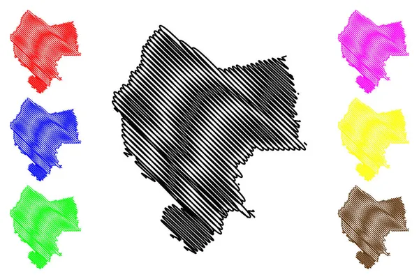
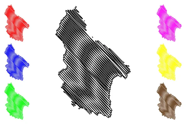
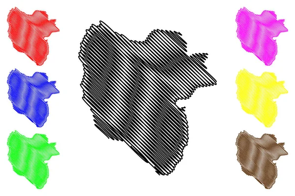
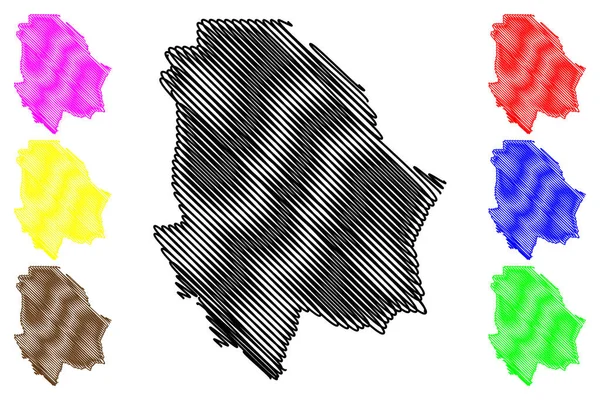
Stock vector Chihuahua - state (United Mexican States, Mexico, federal republic) map vector illustration, scribble sketch Free and Sovereign State of Chihuahua map
Published: Oct.12, 2018 04:45:39
Author: Danler
Views: 35
Downloads: 0
File type: vector / eps
File size: 1.29 MB
Orginal size: 7087 x 4724 px
Available sizes:
Level: bronze