Home
Images
Vectors
Videos
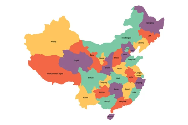
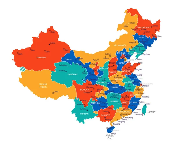
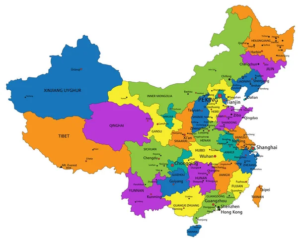
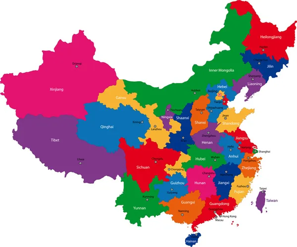
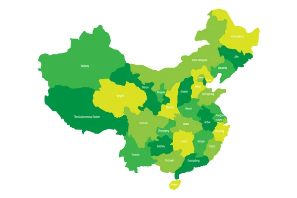
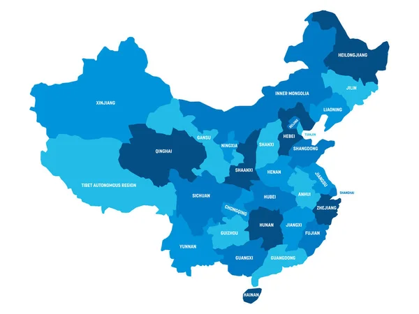
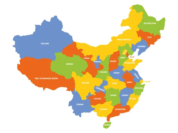
Stock vector China - map of provinces
Published:
Oct.30, 2020 07:30:39
Author:
pyty
Views:
31
Downloads:
0
File type:
vector
/
eps
File size:
1.34 MB
Orginal size:
6000
x
4500
px
Available sizes:
S
(500 x 375)
M
(1000 x 750)
L
(2000 x 1500)
XL
(6000 x 4500)
VECT
(6000 x 4500)
EL0
(6000 x 4500)
Level:
silver
Download Vector
Vector topics:
Color
Vector
Colorful
Colored
Shape
Label
Border
City
Simple
Chinese
Asian
China
Name
Country
Map
Cartography
Geography
Land
Asia
Topography
Political
Administrative
Beijing
Geographic
Republic
Department
Shanghai
Region
Division
Mongolia
Territory
Administration
Province
Nation
Subdivision
Divisions
Tibet
Simplified
Chongqing
Guangdong
Jiangsu
Jilin
Shaanxi
Shandong
Shanxi
Xinjiang
Guangzhou
Shenyang
Infographics
Hong Kong
Similar stock vectors
Map Of Administrative Provinces Of China. Vector Illustration
6000 × 4000
China - Map Of Provinces
6000 × 4500
China Map And Flag - Highly Detailed Vector Illustration
5554 × 4817
Vector Map Of China With Provinces, Regions And Administrative Divisions. Editable And Clearly Labeled Layers.
5200 × 4000
Colorful China Political Map With Clearly Labeled, Separated Layers. Vector Illustration.
5285 × 4252
China Map
7502 × 6241
Regional Map Of Administrative Provinces Of China. Four Shades Of Green With White Labels On White Background. Vector Illustration
6000 × 4000
China - Map Of Provinces
6000 × 4500