Home
Images
Vectors
Videos
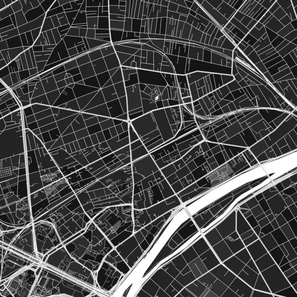
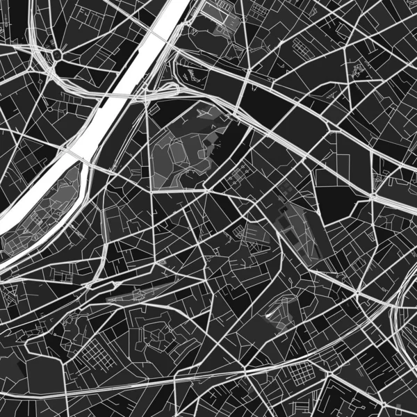
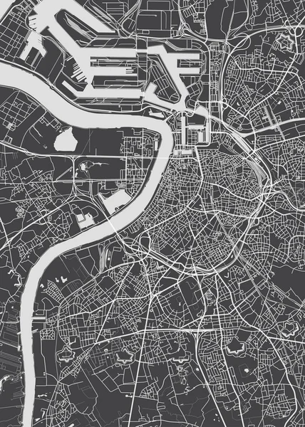
Stock vector City map Antwerp, monochrome detailed plan, vector illustration
Published:
Apr.17, 2019 09:52:18
Author:
Max_776
Views:
38
Downloads:
1
File type:
vector
/
eps
File size:
4.22 MB
Orginal size:
4218
x
5906
px
Available sizes:
S
(357 x 500)
M
(714 x 1000)
L
(1428 x 2000)
XL
(4218 x 5906)
VECT
(4218 x 5906)
EL0
(4218 x 5906)
Level:
bronze
Download Vector
Vector topics:
Vector
Background
View
Illustration
Art
Travel
Park
Texture
Air
Transport
Silhouette
Road
River
Building
City
Downtown
Urban
Communication
Street
Detailed
Cityscape
Skyline
Europe
Top
Outline
Country
District
Map
Cartography
Plan
Area
Land
Flight
Dashboard
Infrastructure
Trip
Poster
Aerial
Belgium
Typography
Atlas
Neighborhood
Metropolitan
County
Coordinates
Antwerp
Flanders
Scheldt
Bogough
Street Travel
Similar stock vectors
City Map Warsaw, Monochrome Detailed Plan, Vector Illustration
5717 × 8001
Moscow City Plan, Detailed Vector Map
4219 × 5906
Vienna City Plan, Detailed Vector Map
4223 × 5906
City Map Rotterdam, Monochrome Detailed Plan, Vector Illustratio
4219 × 5906
Dark Vector Art Map Of Toulouse, Haute-Garonne, France With Fine Grays For Urban And Rural Areas. The Different Shades Of Gray In The Toulouse Map Do Not Follow Any Particular Pattern.
8000 × 8000
Dark Vector Art Map Of Courbevoie, Hauts-de-Seine, France With Fine Grays For Urban And Rural Areas. The Different Shades Of Gray In The Courbevoie Map Do Not Follow Any Particular Pattern.
8000 × 8000
Dark Vector Art Map Of Issy-les-Moulineaux, Hauts-de-Seine, France With Fine Grays For Urban And Rural Areas. The Different Shades Of Gray In The Issy-les-Moulineaux Map Do Not Follow Any Particular Pattern.
8000 × 8000
Munich City Plan, Detailed Vector Map
4217 × 5906