Home
Images
Vectors
Videos
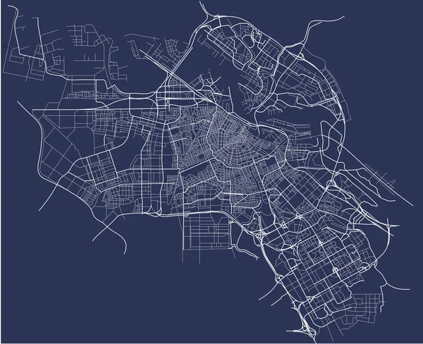
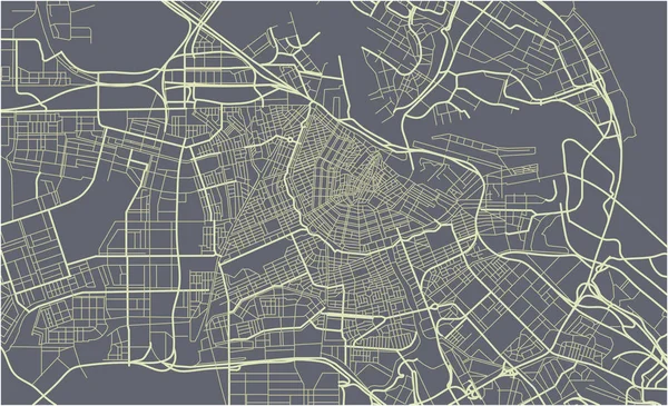
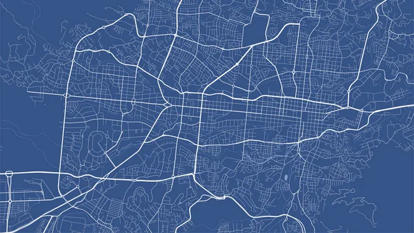
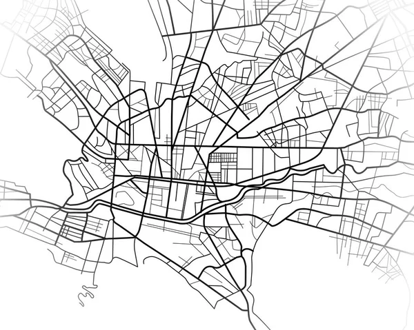
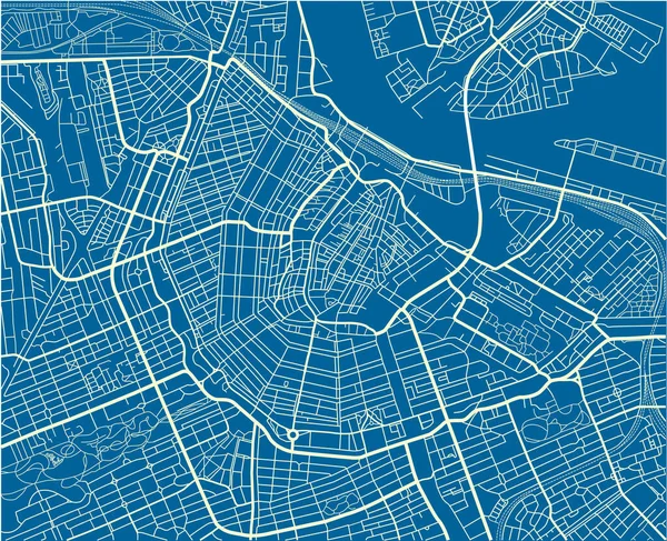
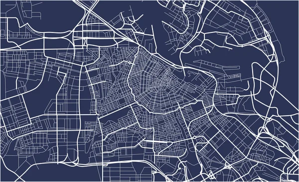
Stock vector City Map of Amsterdam, Netherlands
Published:
Sep.11, 2017 07:21:11
Author:
tish11
Views:
205
Downloads:
3
File type:
vector
/
eps
File size:
2.38 MB
Orginal size:
7033
x
4288
px
Available sizes:
S
(500 x 305)
M
(1000 x 610)
L
(2000 x 1219)
XL
(7033 x 4288)
VECT
(7033 x 4288)
EL0
(7033 x 4288)
Level:
bronze
Download Vector
Vector topics:
Vector
Background
Graphic
Illustration
Park
Sea
European
Old
Square
Road
River
Center
City
Downtown
Urban
Scale
Street
Netherlands
Tourism
Grid
Highway
Town
North
Europe
Country
Map
Cartography
Geography
Plan
Quarter
Metropolis
Canal
Topography
Location
Place
Scheme
Administrative
Region
Atlas
Amsterdam
Geographical
Planing
Urbanism
City Planning
Low Countries
Similar stock vectors
City Map Of Amsterdam, Netherlands
6100 × 4965
City Map Of Amsterdam, Netherlands
7033 × 4288
Detailed Vector Map Poster Of San Salvador City Administrative Area. Blue Skyline Panorama. Decorative Graphic Tourist Map Of San Salvador Territory. Royalty Free Vector Illustration.
5335 × 3001
Digital Illustration Or Drawing Of The Monterrey Mexico City Map
5906 × 4724
Vector Map Of The City Of Riyadh, Riyadh Province , Saudi Arabia
3751 × 4726
Blue And White Vector City Map Of Amsterdam With Well Organized Separated Layers.
5690 × 4622
Map Of The City Of San Jose, California, USA
5487 × 4595
Urban Vector City Map Of Lodz, Poland
6000 × 3002