Home
Images
Vectors
Videos
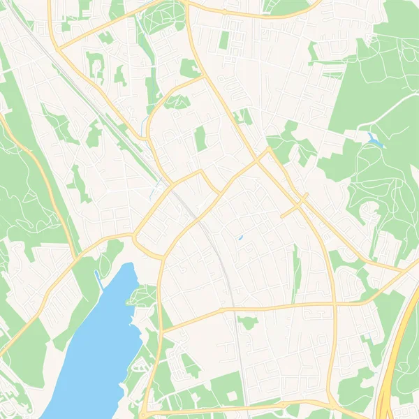
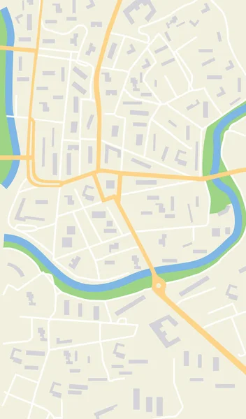
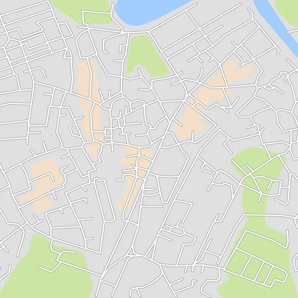
Stock vector City map or plan for your navigation design. Roads, river and other urban map details. Vector illustration.
Published:
Jun.11, 2019 08:33:02
Author:
zeynurbabayev
Views:
18
Downloads:
0
File type:
vector
/
eps
File size:
0.88 MB
Orginal size:
5000
x
5000
px
Available sizes:
S
(500 x 500)
M
(1000 x 1000)
L
(2000 x 2000)
XL
(5000 x 5000)
VECT
(5000 x 5000)
EL0
(5000 x 5000)
Level:
bronze
Download Vector
Vector topics:
Green
Large
Vector
Background
Colorful
View
Graphic
Illustration
Design
Art
Travel
Park
Water
Transportation
Pattern
European
Road
Modern
Big
River
City
Downtown
Urban
Drawing
Information
Street
Town
Europe
Navigation
Top
Lane
District
Map
Cartography
Geography
Plan
Area
Residential
Distance
Topography
Location
Place
Destination
Aerial
Mega
Gps
Metropolitan
Borough
City France
Similar stock vectors
Map City. Vector Illustration
4254 × 3077
Design Vector Map City LEIPZUH
13334 × 10000
Bamberg, Germany Printable Map
5376 × 5376
Narbonne, France Printable Map
5376 × 5376
Szekesfehervar, Hungary Printable Map
5376 × 5376
Jarvenpaa, Finland Printable Map
5376 × 5376
Map City. Graphic Plan Town With Streets, River, Bridges, Green Parks, Buildings And Roads. Urban Background With Location, Navigation For Gps, Travels And Guides. Aerial Pattern Cartography. Vector.
4000 × 6800
Aerial Clean Top View Of The City Map With Street And River, Blank Urban Imagination Map, GPS Map Navigator Concept, Vector Illustration
7250 × 4833