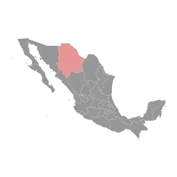
Stock vector Coahuila state map, administrative division of the country of Mexico. Vector illustration.
Published: Jul.11, 2023 07:49:47
Author: majborodinruslan1990.icloud.com
Views: 0
Downloads: 0
File type: vector / eps
File size: 6.09 MB
Orginal size: 8334 x 8334 px
Available sizes:
Level: beginner
Similar stock vectors
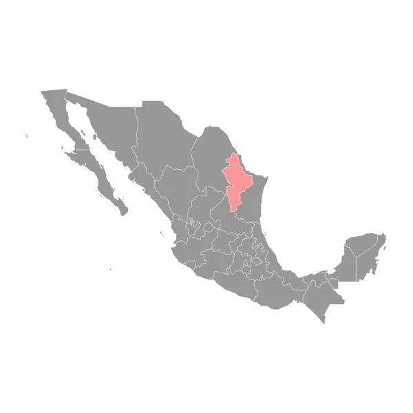
Nuevo Leon State Map, Administrative Division Of The Country Of Mexico. Vector Illustration.
8334 × 8334
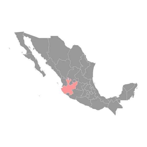
Jalisco State Map, Administrative Division Of The Country Of Mexico. Vector Illustration.
8334 × 8334
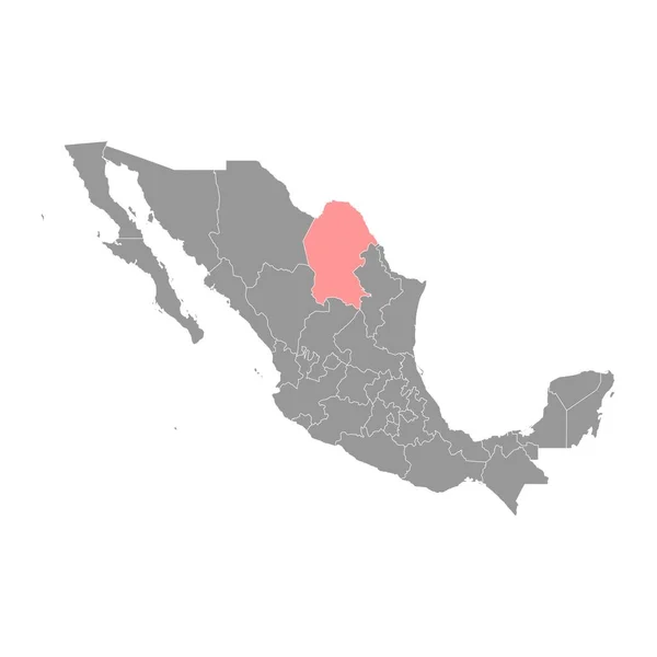
Chihuahua State Map, Administrative Division Of The Country Of Mexico. Vector Illustration.
8334 × 8334
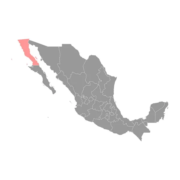
Baja California State Map, Administrative Divisions Of The Country Of Mexico. Vector Illustration.
8334 × 8334

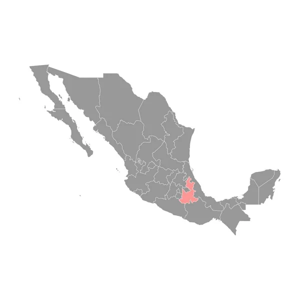
San Luis Potosi State Map, Administrative Division Of The Country Of Mexico. Vector Illustration.
8334 × 8334
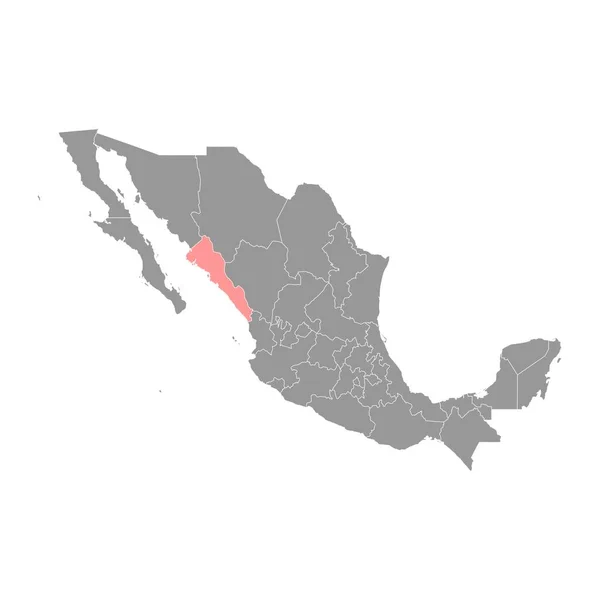
Sinaloa State Map, Administrative Division Of The Country Of Mexico. Vector Illustration.
8334 × 8334