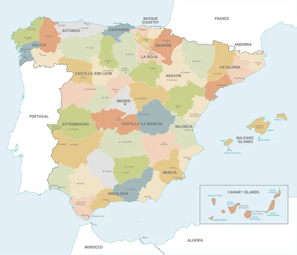
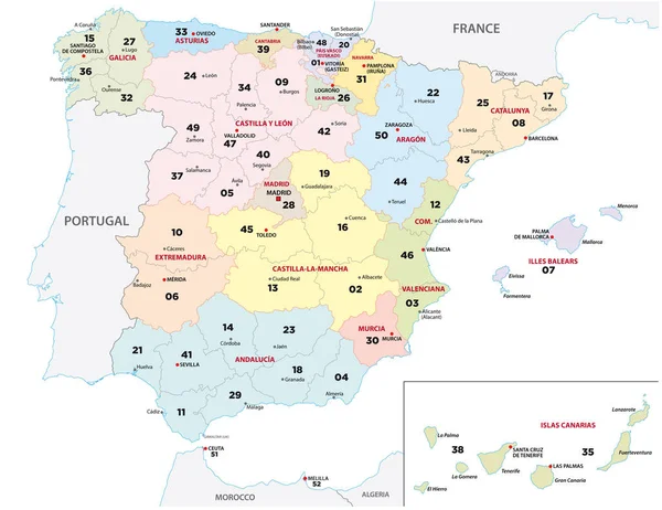
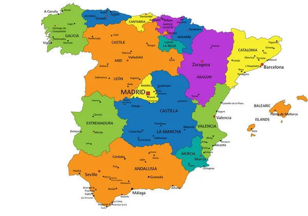
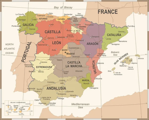
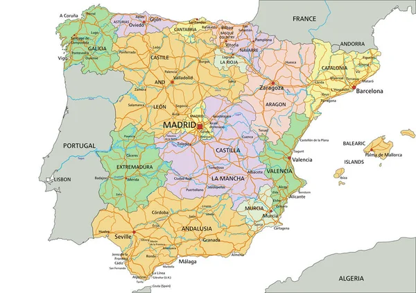
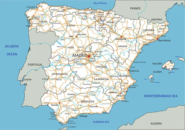
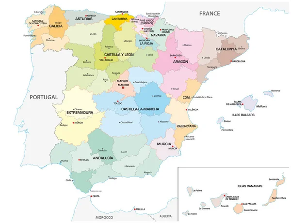
Stock vector Colored administrative and political vector map of the Spanish provinces and regions
Published: Feb.05, 2019 12:41:43
Author: Lesniewski
Views: 313
Downloads: 10
File type: vector / eps
File size: 2 MB
Orginal size: 4518 x 3476 px
Available sizes:
Level: bronze