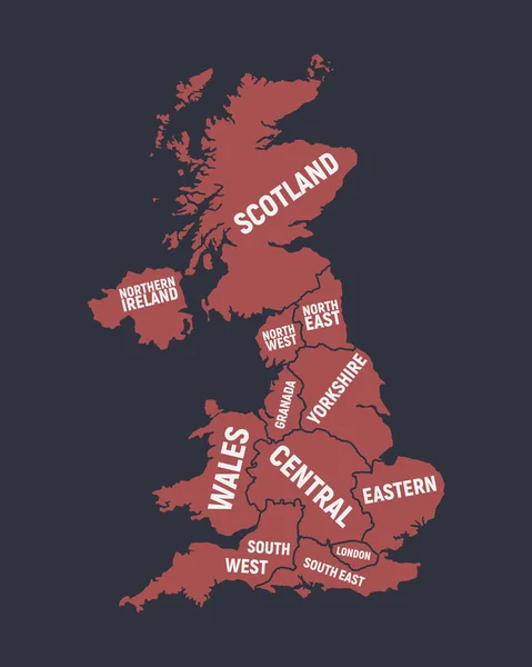
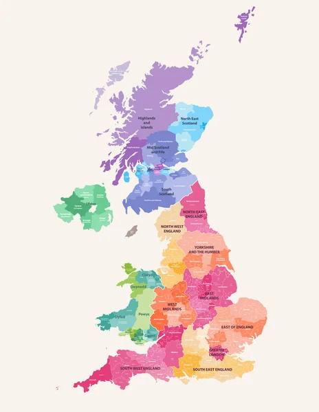
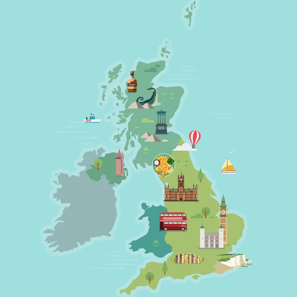
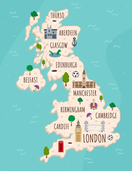
Stock vector Colored Hand drawn doodle Great Britain map. England city names lettering and cartoon landmarks, tourist attractions cliparts.

Published: Mar.23, 2020 11:16:08
Author: Betty1994
Views: 104
Downloads: 2
File type: vector / eps
File size: 1.03 MB
Orginal size: 4246 x 4278 px
Available sizes:
Level: bronze