Home
Images
Vectors
Videos
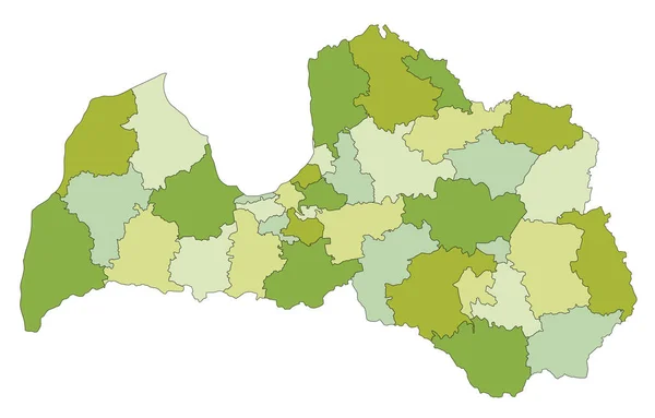
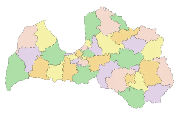
Stock vector Colored Municipalities Map of European Country of Latvia
Published:
Nov.20, 2020 07:27:55
Author:
momcilo.jovanov
Views:
5
Downloads:
0
File type:
vector
/
eps
File size:
1.21 MB
Orginal size:
4800
x
3600
px
Available sizes:
S
(500 x 375)
M
(1000 x 750)
L
(2000 x 1500)
XL
(4800 x 3600)
VECT
(4800 x 3600)
EL0
(4800 x 3600)
Level:
bronze
Download Vector
Vector topics:
Color
White
Vector
Background
Graphic
Illustration
Design
Isolated
Shape
Sign
Art
Travel
Abstract
Border
Flag
Banner
Symbol
Concept
Icon
City
Contour
Earth
World
Europe
Outline
Country
Map
Cartography
Geography
National
Continent
State
Emblem
Patriotism
Political
Administrative
Republic
Official
Region
Latvia
Patriotic
Province
Nation
Riga
Similar stock vectors
Simple Pastel Vector Map With Black Borders And Names Of Citizen Assembly Areas Of Nuremberg, Germany
4710 × 5107
Highly Detailed Editable Political Map With Separated Layers. Latvia.
3000 × 1915
Colored Districts Map Of European Country Of Moldova
3600 × 4800
Latvia - Highly Detailed Editable Political Map.
3000 × 1915
Administrative Counties Of Romania. Vector Map In Four Shades Of Orange
6000 × 4500
Colored Municipalities Map Of European Country Of North Macedonia
4800 × 3600
Hamburg
2217 × 2190
Highly Detailed Editable Political Map With Separated Layers. Turkey.
5671 × 2842